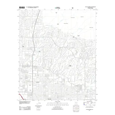
2011 Map of Tucson North
USGS Topo · Published 2011About this map
Catalina Foothills and the northern reaches of Tucson meet the dramatic rise of the Santa Catalina Mountains in this 2011 survey. The landscape is defined by the transition from dense residential grids and commercial centers like the Tucson Mall to the canyons and peaks of the Coronado National Forest. Waterways such as the Rillito River, Pima Wash, and Arcadia Wash cut through the desert floor, while prominent geological landmarks like Pusch Peak and Finger Rock tower over the northern horizon. The presence of the University of Arizona Farm and Christopher City University of Arizona highlights the academic and agricultural infrastructure integrated into the suburban growth of Amphitheater and Valley View. For those researching local history, the map provides precise locations for Holy Hope Cemetery and Evergreen Cemetery near the urban core.
Find a feature on this map
71 named features on this map. Tap any name to fly to it.
Don’t see what you’re looking for? This feature index may not catch every label — zoom into the map to look around manually.
Map Details
Editions of this 2011 Tucson North Map
This is the sole edition of this map. No revisions or reprints were ever made.
Other maps of this area

1904 · Tucson
USGS Topo · 1:125,000

1905 · Tucson
USGS Topo · 1:125,000

1925 · San Xavier
USGS Topo · 1:62,500

1934 · Tucson Mountains
USGS Topo · 1:125,000

1943 · San Xavier Mission
USGS Topo · 1:62,500

1947 · Cortaro
USGS Topo · 1:62,500

1948 · Tucson
USGS Topo · 1:62,500

1956 · Tucson
USGS Topo · 1:250,000

1957 · Tucson East
USGS Topo · 1:24,000

1957 · San Xavier Mission
USGS Topo · 1:62,500