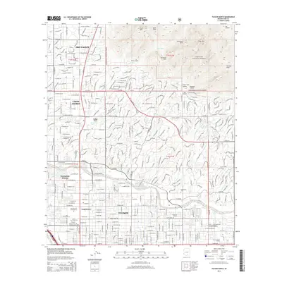
2014 Map of Tucson North
USGS Topo · Published 2014About this map
Oro Valley and the northern reaches of Tucson are documented here just as suburban growth meets the dramatic rise of the Santa Catalina Mountains. The map reveals a high density of genealogical and local history interest concentrated near the Rillito River, including the Holy Hope Cem and Mausoleum, Tucson Pioneer Cem, and Evergreen Memorial Park. These sites sit alongside established communities like Casas Adobes and Flowing Wells, illustrating the mid-century expansion and subsequent development of the Pima County desert.
Find a feature on this map
138 named features on this map. Tap any name to fly to it.
Don’t see what you’re looking for? This feature index may not catch every label — zoom into the map to look around manually.
Map Details
Editions of this 2014 Tucson North Map
This is the sole edition of this map. No revisions or reprints were ever made.
Other maps of this area

1904 · Tucson
USGS Topo · 1:125,000

1905 · Tucson
USGS Topo · 1:125,000

1925 · San Xavier
USGS Topo · 1:62,500

1934 · Tucson Mountains
USGS Topo · 1:125,000

1943 · San Xavier Mission
USGS Topo · 1:62,500

1947 · Cortaro
USGS Topo · 1:62,500

1948 · Tucson
USGS Topo · 1:62,500

1956 · Tucson
USGS Topo · 1:250,000

1957 · Tucson East
USGS Topo · 1:24,000

1957 · San Xavier Mission
USGS Topo · 1:62,500