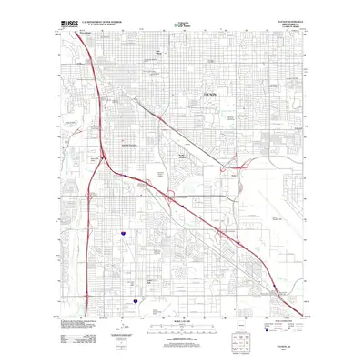
2011 Map of Tucson
USGS Topo · Published 2011About this map
The Santa Cruz River and its tributary Julian Wash define the drainage of this desert landscape, where the modern urban infrastructure of Tucson and South Tucson is laid out in a dense grid. Significant institutional footprints are visible, from the University of Arizona campus near the center to the sprawling eastern grounds of Davis Monthan AFB. To the south, the city’s connectivity is highlighted by the proximity of the Tucson International Airport and the PFE Yard railroad facilities.
Find a feature on this map
42 named features on this map. Tap any name to fly to it.
Don’t see what you’re looking for? This feature index may not catch every label — zoom into the map to look around manually.
Map Details
Editions of this 2011 Tucson Map
This is the sole edition of this map. No revisions or reprints were ever made.
Other maps of this area

1904 · Tucson
USGS Topo · 1:125,000

1905 · Tucson
USGS Topo · 1:125,000

1925 · San Xavier
USGS Topo · 1:62,500

1934 · Tucson Mountains
USGS Topo · 1:125,000

1943 · San Xavier Mission
USGS Topo · 1:62,500

1947 · Cortaro
USGS Topo · 1:62,500

1948 · Tucson
USGS Topo · 1:62,500

1956 · Tucson
USGS Topo · 1:250,000

1957 · Tucson East
USGS Topo · 1:24,000

1957 · San Xavier Mission
USGS Topo · 1:62,500