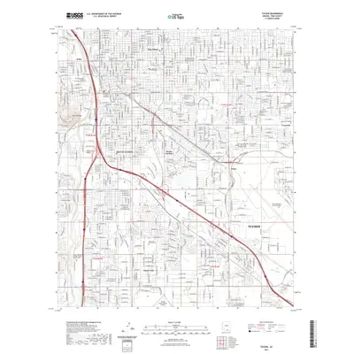
2021 Map of Tucson
USGS Topo · Published 2021About this map
South Tucson stands as a distinct incorporated enclave within the broader urban landscape of Tucson in this 2021 survey. The city's growth is mapped through a dense network of neighborhoods including Pueblo Gardens, Emery Park, and Polo Village, interspersed with institutional landmarks like the University of Arizona and Pima County Superior Courthouse. The geography is defined by the Santa Cruz River corridor on the west, shadowed by the prominent Sentinel Peak and the edges of the Tucson Mountains.
Find a feature on this map
243 named features on this map. Tap any name to fly to it.
Don’t see what you’re looking for? This feature index may not catch every label — zoom into the map to look around manually.
Map Details
Editions of this 2021 Tucson Map
This is the sole edition of this map. No revisions or reprints were ever made.
Other maps of this area

1904 · Tucson
USGS Topo · 1:125,000

1905 · Tucson
USGS Topo · 1:125,000

1925 · San Xavier
USGS Topo · 1:62,500

1934 · Tucson Mountains
USGS Topo · 1:125,000

1943 · San Xavier Mission
USGS Topo · 1:62,500

1947 · Cortaro
USGS Topo · 1:62,500

1948 · Tucson
USGS Topo · 1:62,500

1956 · Tucson
USGS Topo · 1:250,000

1957 · Tucson East
USGS Topo · 1:24,000

1957 · San Xavier Mission
USGS Topo · 1:62,500