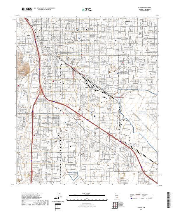
2023 Map of Tucson
USGS Topo · Published 2023About this map
Tucson's urban core and southern sprawl appear here in exceptional detail, anchored by the sprawling campus of the University of Arizona and the historic civic center around the Pima County Superior Courthouse. The landscape is defined by the ephemeral Santa Cruz River on the west and the massive footprint of Davis-Monthan Air Force Base to the east. The map captures established neighborhoods like Polo Village and Pueblo Gardens, alongside a dense network of major thoroughfares such as W Speedway Blvd and E Broadway Blvd. To the south, the scale of regional transportation is evident in the layout of the Tucson International Airport and the path of the Southern Pacific RR. Genealogists will find value in the specific locations of several memorial sites, including the South Lawn Memorial Cem and church-affiliated gardens like those of the Catalina United Methodist Church Memorial Garden.
Find a feature on this map
50 named features on this map. Tap any name to fly to it.
Don’t see what you’re looking for? This feature index may not catch every label — zoom into the map to look around manually.
Map Details
Editions of this 2023 Tucson Map
This is the sole edition of this map. No revisions or reprints were ever made.
Other maps of this area

1904 · Tucson
USGS Topo · 1:125,000

1905 · Tucson
USGS Topo · 1:125,000

1925 · San Xavier
USGS Topo · 1:62,500

1934 · Tucson Mountains
USGS Topo · 1:125,000

1943 · San Xavier Mission
USGS Topo · 1:62,500

1947 · Cortaro
USGS Topo · 1:62,500

1948 · Tucson
USGS Topo · 1:62,500

1956 · Tucson
USGS Topo · 1:250,000

1957 · Tucson East
USGS Topo · 1:24,000

1957 · San Xavier Mission
USGS Topo · 1:62,500