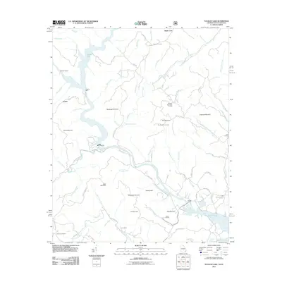
2011 Map of Tugaloo Lake
USGS Topo · Published 2011About this map
Tallulah Gorge anchors this rugged riverine landscape, where the confluence of several major waterways defines the Georgia and South Carolina border. The impoundment of the Tugaloo River is documented through significant infrastructure, including the Tugaloo Dam and Yonah Dam, which created Tugaloo Lake. These hydraulic developments reshaped the local economy and topography, though older terrestrial markers persist.
Find a feature on this map
85 named features on this map. Tap any name to fly to it.
Don’t see what you’re looking for? This feature index may not catch every label — zoom into the map to look around manually.
Map Details
Editions of this 2011 Tugaloo Lake Map
This is the sole edition of this map. No revisions or reprints were ever made.
Other maps of this area

1886 · Walhalla
USGS Topo · 1:125,000

1892 · Walhalla
USGS Topo · 1:125,000

1896 · Walhalla
USGS Topo · 1:125,000

1953 · Tallulah Falls
USGS Topo · 1:24,000

1954 · Greenville
USGS Topo · 1:250,000
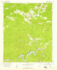
1957 · Tiger
USGS Topo · 1:24,000

1957 · Tugaloo Lake
USGS Topo · 1:24,000
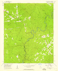
1957 · Rainy Mountain
USGS Topo · 1:24,000

1958 · Greenville
USGS Topo · 1:250,000
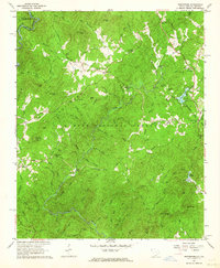
1961 · Whetstone
USGS Topo · 1:24,000