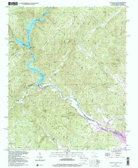
1997 Map of Tugaloo Lake
USGS Topo · Published 2001About this map
Tugaloo River serves as the primary boundary between Georgia and South Carolina, winding through a landscape shaped by hydroelectric development. The river's course is punctuated by the Tugaloo Lake and Yonah Lake reservoirs, where spillways at specific elevations indicate the managed water levels that define this borderland. Further south, the map captures the upper reaches of Hartwell Lake at the confluence of the Tugaloo Creek and Toccoa Creek.
Find a feature on this map
74 named features on this map. Tap any name to fly to it.
Don’t see what you’re looking for? This feature index may not catch every label — zoom into the map to look around manually.
Map Details
Editions of this 1997 Tugaloo Lake Map
This is the sole edition of this map. No revisions or reprints were ever made.
Other maps of this area

1886 · Walhalla
USGS Topo · 1:125,000

1892 · Walhalla
USGS Topo · 1:125,000

1896 · Walhalla
USGS Topo · 1:125,000

1953 · Tallulah Falls
USGS Topo · 1:24,000

1954 · Greenville
USGS Topo · 1:250,000
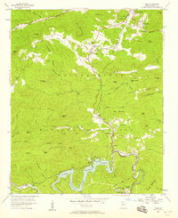
1957 · Tiger
USGS Topo · 1:24,000

1957 · Tugaloo Lake
USGS Topo · 1:24,000
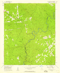
1957 · Rainy Mountain
USGS Topo · 1:24,000

1958 · Greenville
USGS Topo · 1:250,000
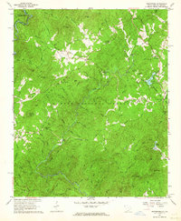
1961 · Whetstone
USGS Topo · 1:24,000