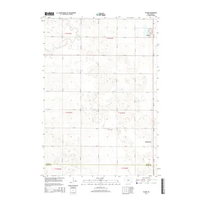
2015 Map of Tulare
USGS Topo · Published 2015About this map
Tulare serves as the primary settlement in this section of the South Dakota plains, situated along a north-south transportation corridor near the eastern edge of the survey. The landscape is defined by the section-line grid of the Public Land Survey System, which organizes the prairie into orderly blocks. Turtle Creek meanders through the northwest, providing a rare natural break in the geometric road network. Near the center of the township, Garfield Cem stands as a local landmark for genealogists and family historians. Further south, the map identifies the location of Spottswood, where the boundary between Spink Co and Beadle Co is clearly delineated. The era’s rural infrastructure is evident in the systematic layout of numbered avenues and streets, such as 182nd St and 386th Ave, which connect the scattered farmsteads and agricultural holdings across these four townships.
Find a feature on this map
29 named features on this map. Tap any name to fly to it.
Don’t see what you’re looking for? This feature index may not catch every label — zoom into the map to look around manually.
Map Details
Editions of this 2015 Tulare Map
This is the sole edition of this map. No revisions or reprints were ever made.
Other maps of this area

1895 · Byron
USGS Topo · 1:125,000

1899 · Redfield
USGS Topo · 1:125,000

1953 · Huron
USGS Topo · 1:250,000

1954 · Huron
USGS Topo · 1:250,000

1966 · Redfield South
USGS Topo · 1:24,000

1966 · Redfield SW
USGS Topo · 1:24,000

1967 · Frankfort SW
USGS Topo · 1:24,000

1967 · Hitchcock SW
USGS Topo · 1:24,000

1967 · Tulare NW
USGS Topo · 1:24,000

1967 · Tulare SE
USGS Topo · 1:24,000