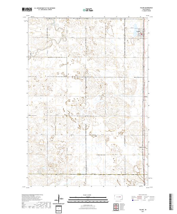
2021 Map of Tulare
USGS Topo · Published 2021About this map
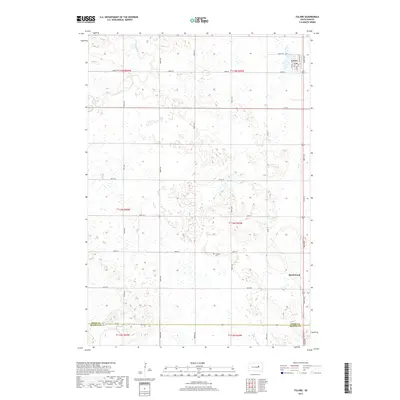
Tulare serves as the primary hub of this agricultural landscape in Spink County, situated just north of the border with Beadle County. The settlement pattern is defined by a rigorous section-line grid, where roads like 386th Ave and 183rd St facilitate movement between sprawling farmsteads. The winding path of Turtle Creek cuts through the northwestern corner, providing a natural break in the otherwise systematic land divisions. Evidence of local heritage and the rural community's history is anchored by the Garfield Cem and the small settlement of Spottswood, both located near the eastern edge of the survey area. Transport and connectivity are dominated by the north-south corridor of 386th Ave and the east-west passage of State Hwy 28, which anchors the southern boundary of the map.
Find a feature on this map
33 named features on this map. Tap any name to fly to it.
Don’t see what you’re looking for? This feature index may not catch every label — zoom into the map to look around manually.
Map Details
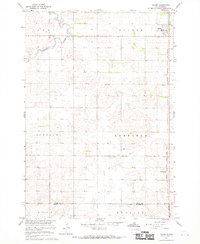
Editions of this 2021 Tulare Map
This is the sole edition of this map. No revisions or reprints were ever made.
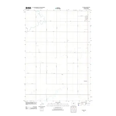
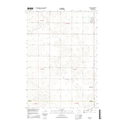
Historical Maps of Tulare Through Time
5 maps found
Featured Locations
- Buffalo Township, SD
- Lake Township, SD
- Garfield Township, SD
- Tulare Township, SD
- Tulare, Tulare Township