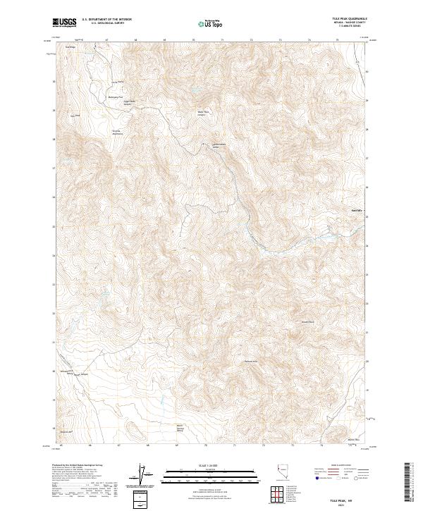
2021 Map of Tule Peak
USGS Topo · Published 2021About this map
Tule Peak and the high ridges of the Virginia Mountains dominate this high-desert landscape in northern Nevada. The topography is defined by significant elevation changes, from the prominent Tule Ridge and Dogskin Mtn to the low-lying Winnemucca Valley and Warm Springs Valley at the southern edge. The settlement of Sutcliffe serves as a lone outpost on the eastern side of the quadrangle near the shores of Pyramid Lake.
Find a feature on this map
30 named features on this map. Tap any name to fly to it.
Don’t see what you’re looking for? This feature index may not catch every label — zoom into the map to look around manually.
Map Details
Editions of this 2021 Tule Peak Map
This is the sole edition of this map. No revisions or reprints were ever made.
Other maps of this area

1886 · Granite Range
USGS Topo · 1:250,000

1891 · Reno
USGS Topo · 1:125,000

1893 · Reno
USGS Topo · 1:125,000

1894 · Granite Range
USGS Topo · 1:250,000

1955 · Lovelock
USGS Topo · 1:250,000

1957 · Sutcliffe
USGS Topo · 1:62,500

1957 · Dogskin Mountain
USGS Topo · 1:62,500

1957 · Reno
USGS Topo · 1:250,000

1959 · Lovelock
USGS Topo · 1:250,000

1959 · Reno
USGS Topo · 1:250,000