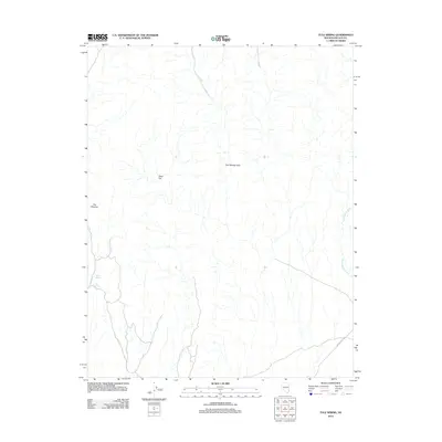
2012 Map of Tule Spring
USGS Topo · Published 2012About this map
Tule Spring and Abe Spring provide vital water sources in this arid stretch of Lincoln County, where the desert landscape is defined by the Tule Springs Hills. The topography here is marked by dry drainages and alluvial features, most notably the wide Sand Hollow Wash that cuts through the eastern portion of the quadrangle. High-elevation areas such as Steer Flat and the unique formation known as The Ribbons illustrate the complex geomorphology of the Great Basin. Human presence is sparse, indicated primarily by the utilitarian Phone Cable Rd crossing the southern terrain. This survey provides a clear look at the drainage patterns and seasonal water points that have long dictated movement through this part of the Nevada desert.
Find a feature on this map
7 named features on this map. Tap any name to fly to it.
Don’t see what you’re looking for? This feature index may not catch every label — zoom into the map to look around manually.
Map Details
Editions of this 2012 Tule Spring Map
This is the sole edition of this map. No revisions or reprints were ever made.
Other maps of this area

1885 · Pioche
USGS Topo · 1:250,000

1886 · Saint Thomas
USGS Topo · 1:250,000

1886 · Pioche
USGS Topo · 1:250,000

1893 · Saint Thomas
USGS Topo · 1:250,000

1954 · Caliente
USGS Topo · 1:250,000

1954 · Las Vegas
USGS Topo · 1:250,000

1957 · Las Vegas
USGS Topo · 1:250,000

1957 · Mesquite
USGS Topo · 1:62,500

1959 · Caliente
USGS Topo · 1:250,000

1959 · Las Vegas
USGS Topo · 1:250,000