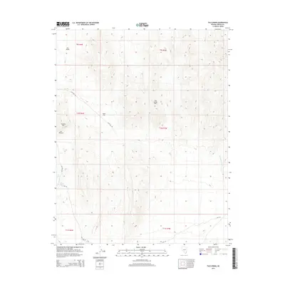
2014 Map of Tule Spring
USGS Topo · Published 2014About this map
Tule Spring and Abe Spring serve as critical water points in this arid stretch of Lincoln County, defining the sparse landscape. The area is characterized by the broad expanse of the Tule Desert and the complex elevations of the Tule Springs Hills and Jumbled Mtn. Human presence is marked by a network of primitive tracks, including Steer Flat Rd and Camp Rd, which provide access to high-plateau features like Steer Flat. The topography includes distinctive formations such as The Ribbons and the drainage of Sand Hollow Wash, showing the natural conduits for seasonal runoff through the high desert. This documentation captures the fundamental relationship between water sources and travel routes in a region where geography dictates movement.
Find a feature on this map
17 named features on this map. Tap any name to fly to it.
Don’t see what you’re looking for? This feature index may not catch every label — zoom into the map to look around manually.
Map Details
Editions of this 2014 Tule Spring Map
This is the sole edition of this map. No revisions or reprints were ever made.
Other maps of this area

1885 · Pioche
USGS Topo · 1:250,000

1886 · Saint Thomas
USGS Topo · 1:250,000

1886 · Pioche
USGS Topo · 1:250,000

1893 · Saint Thomas
USGS Topo · 1:250,000

1954 · Caliente
USGS Topo · 1:250,000

1954 · Las Vegas
USGS Topo · 1:250,000

1957 · Las Vegas
USGS Topo · 1:250,000

1957 · Mesquite
USGS Topo · 1:62,500

1959 · Caliente
USGS Topo · 1:250,000

1959 · Las Vegas
USGS Topo · 1:250,000