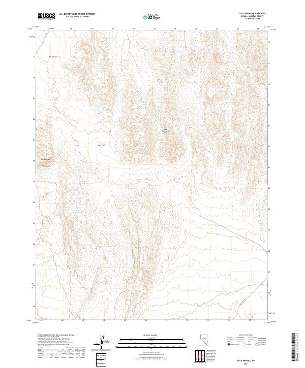
2021 Map of Tule Spring
USGS Topo · Published 2021About this map
Tule Spring and Abe Spring provide vital water points in this arid stretch of Lincoln County, situated along the edge of the Tule Desert. This 2021 landscape is defined by its stark relief, where the steep elevations of Jumbled Mtn and the unique formation known as The Ribbons overlook the broad expanse of Steer Flat. The topography of the Tule Springs Hills illustrates the geological complexity of the Great Basin, showing how water and wind have carved features like Sand Hollow Wash over millennia. Human presence remains minimal here, primarily represented by utility corridors such as Phone Cable Rd. The map serves as a contemporary record of the public land surveys, marking township and range divisions like t10s r70e across a terrain that has remained largely unchanged by modern development.
Find a feature on this map
15 named features on this map. Tap any name to fly to it.
Don’t see what you’re looking for? This feature index may not catch every label — zoom into the map to look around manually.
Map Details
Editions of this 2021 Tule Spring Map
This is the sole edition of this map. No revisions or reprints were ever made.
Other maps of this area

1885 · Pioche
USGS Topo · 1:250,000

1886 · Saint Thomas
USGS Topo · 1:250,000

1886 · Pioche
USGS Topo · 1:250,000

1893 · Saint Thomas
USGS Topo · 1:250,000

1954 · Caliente
USGS Topo · 1:250,000

1954 · Las Vegas
USGS Topo · 1:250,000

1957 · Las Vegas
USGS Topo · 1:250,000

1957 · Mesquite
USGS Topo · 1:62,500

1959 · Caliente
USGS Topo · 1:250,000

1959 · Las Vegas
USGS Topo · 1:250,000