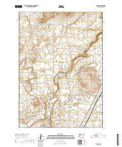
2020 Map of Tumalo
USGS Topo · Published 2020About this map
Tumalo and the adjacent settlement of Deschutes are situated at a significant bend in the Deschutes River in central Oregon. This 2020 landscape illustrates a complex network of agricultural and municipal water management, featuring the Tumalo Feed Canal to the west and the Swalley Canal to the south. The topographic relief is defined by volcanic features, including Cline Buttes to the north and Laidlaw Butte near the town center, which provided natural landmarks for early settlers in the high desert. Local history is anchored by the Tumalo Cem, while the river’s descent creates notable geographic points such as Aubrey Falls. The road network, including the Tumalo-Deschutes Hwy, shows the modern connectivity of this rural community.
Find a feature on this map
108 named features on this map. Tap any name to fly to it.
Don’t see what you’re looking for? This feature index may not catch every label — zoom into the map to look around manually.
Map Details
Editions of this 2020 Tumalo Map
This is the sole edition of this map. No revisions or reprints were ever made.
Other maps of this area

1926 · Bend
USGS Topo · 1:125,000

1929 · Bend
USGS Topo · 1:125,000

1955 · Bend
USGS Topo · 1:250,000

1957 · Bend
USGS Topo · 1:250,000

1958 · Bend
USGS Topo · 1:250,000

1961 · Redmond
USGS Topo · 1:24,000

1962 · Forked Horn Butte
USGS Topo · 1:24,000
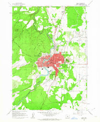
1962 · Bend
USGS Topo · 1:24,000
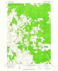
1962 · Bend Airport
USGS Topo · 1:24,000
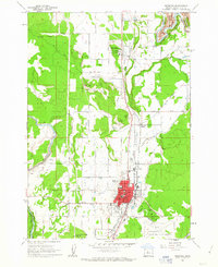
1962 · Redmond
USGS Topo · 1:24,000