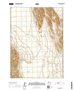
2020 Map of Tumtum Lake
USGS Topo · Published 2020About this map
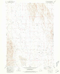
Pueblo Valley and the Alvord Valley converge in this high-desert landscape of southeastern Oregon, where water management defines the region's geography. The terminal Tumtum Lake sits at the southern reach of the sheet, fed by the winding course of Pueblo Slough and surrounded by seasonal wetlands. The topography is dominated by the looming presence of the White Horse Mountains to the northeast and the distinctive profile of Snake Den Butte in the west.
Find a feature on this map
21 named features on this map. Tap any name to fly to it.
Don’t see what you’re looking for? This feature index may not catch every label — zoom into the map to look around manually.
Map Details
Editions of this 2020 Tumtum Lake Map
This is the sole edition of this map. No revisions or reprints were ever made.
Other maps of this area

1955 · Adel
USGS Topo · 1:250,000

1957 · Adel
USGS Topo · 1:250,000

1958 · Adel
USGS Topo · 1:250,000

1962 · Adel
USGS Topo · 1:250,000

1971 · Fields
USGS Topo · 1:24,000

1971 · Borax Lake
USGS Topo · 1:24,000
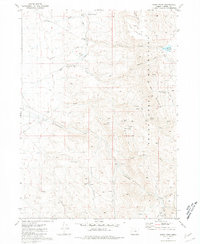
1980 · Windy Point
USGS Topo · 1:24,000
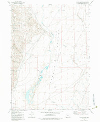
1981 · Colony Ranch
USGS Topo · 1:24,000
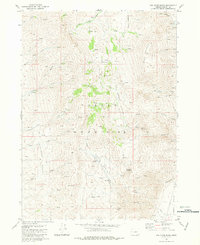
1981 · Van Horn Basin
USGS Topo · 1:24,000
1981 · Tumtum Lake
USGS Topo · 1:24,000