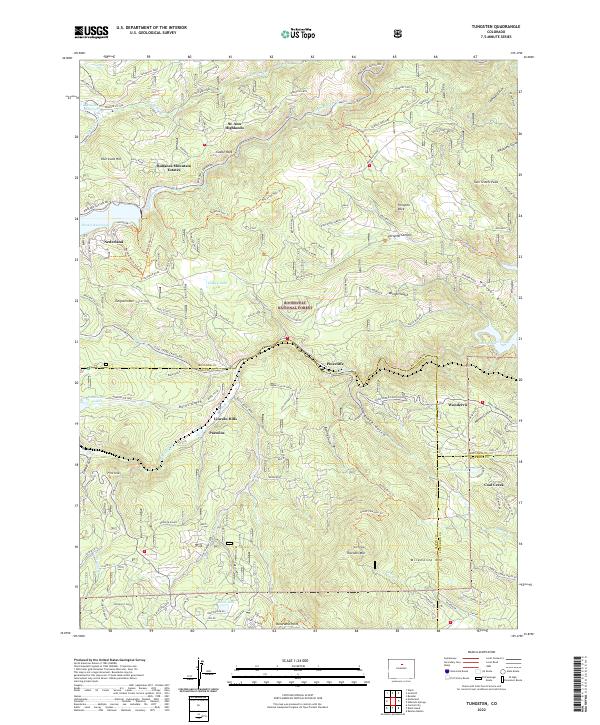
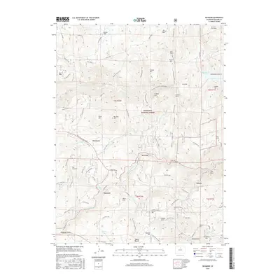
2022 Map of Tungsten
USGS Topo · Published 2022About this map
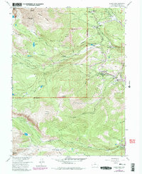
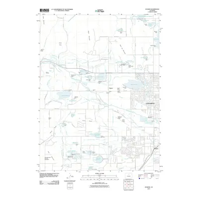
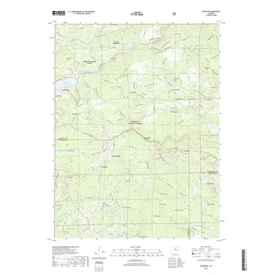
Nederland and the surrounding high-altitude drainages of the Roosevelt National Forest define this 2022 survey. This geography is dominated by the intricate network of the Front Range, where Middle Boulder Cr and South Boulder Cr have carved deep canyons, today harnessed by infrastructure like the Barker Reservoir and Gross Reservoir. The map illustrates a landscape of modern mountain living built upon older mining and resort footprints, seen in the proximity of Pactolus and Lincoln Hills along the water. Significant elevations like Thorodin Mtn and Hurricane Hill overlook a complex grid of residential developments including St.-Ann Highlands and Bonanza Mountain Estates. The road network, including Coal Creek Canyon Rd and Boulder Canyon Dr, highlights the continued importance of these traditional routes through the steep terrain of Burns Gulch and Winiger Ridge.
Find a feature on this map
96 named features on this map. Tap any name to fly to it.
Don’t see what you’re looking for? This feature index may not catch every label — zoom into the map to look around manually.
Map Details
Editions of this 2022 Tungsten Map
This is the sole edition of this map. No revisions or reprints were ever made.
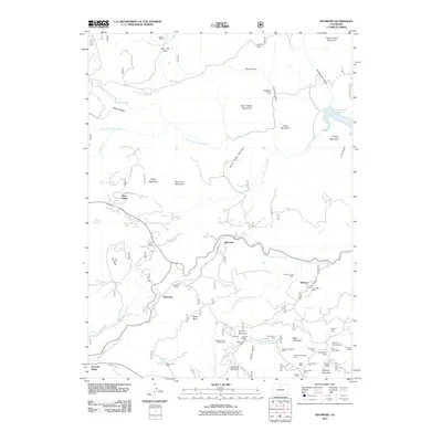
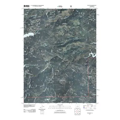
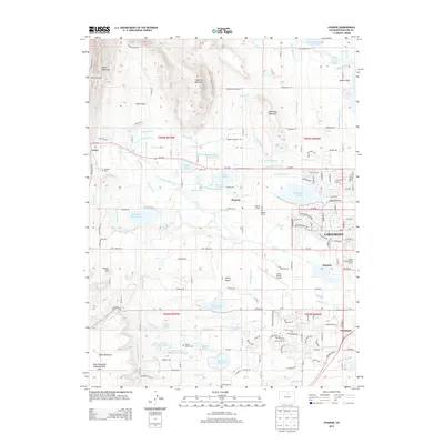
Historical Maps of Nederland Through Time
22 maps found
1942 Tungsten
Boulder County, CO
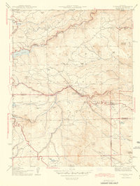
1944 Tungsten
Boulder County, CO
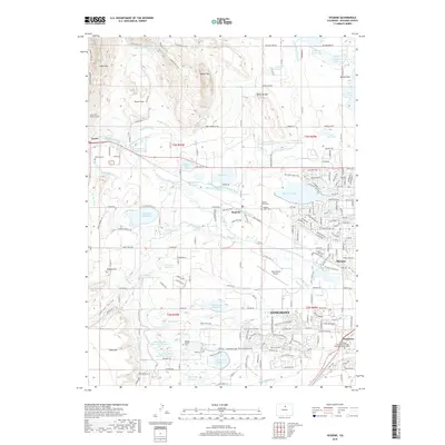
1950 Hygiene
Boulder County, CO
1957 Allens Park
Boulder County, CO
1957 Raymond
Boulder County, CO
1968 Hygiene
Boulder County, CO
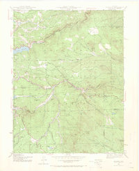
1972 Tungsten
Boulder County, CO
2010 Hygiene
Boulder County, CO
2011 Raymond
Boulder County, CO
2011 Tungsten
Boulder County, CO
2013 Hygiene
Boulder County, CO
2013 Raymond
Boulder County, CO
2013 Tungsten
Boulder County, CO
2016 Hygiene
Boulder County, CO
2016 Raymond
Boulder County, CO
2016 Tungsten
Boulder County, CO
2019 Hygiene
Boulder County, CO
2019 Raymond
Boulder County, CO
2019 Tungsten
Boulder County, CO
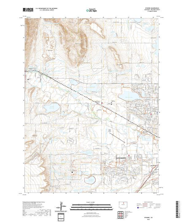
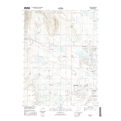
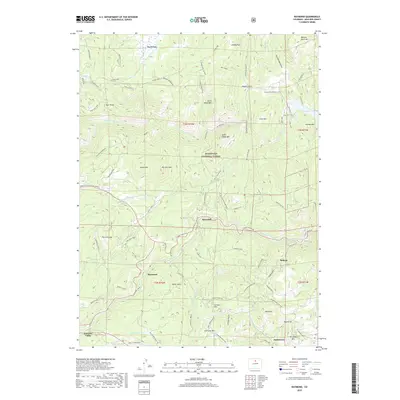
2022 Hygiene
Boulder County, CO
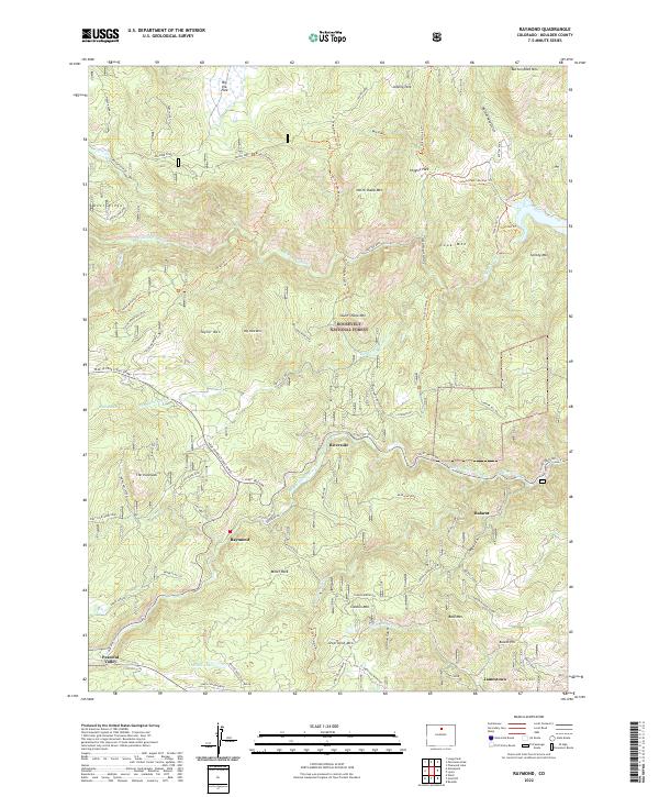
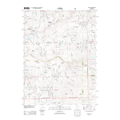
2022 Raymond
Boulder County, CO
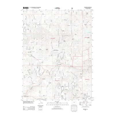
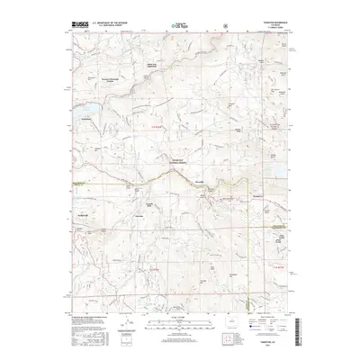
2022 Tungsten
Boulder County, CO