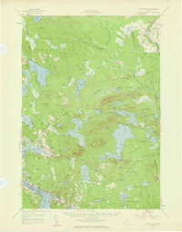
1957 Map of Tunk Lake
USGS Topo · Published 1959About this map
Sullivan Harbor and the complex tidal waters of Taunton Bay anchor the southwestern corner of this coastal Maine landscape. The mid-century topography reveals a transition from the maritime settlements of Sullivan and West Sullivan to the interior wilderness dominated by the massifs of Tunk Lake and Schoodic Mtn. Inland, the economy of the late 1950s is defined by a vast network of water bodies, including the large expanse of Molasses Pond and the smaller Flanders Pond, interspersed with bogs and ridges such as Martin Ridge.
Find a feature on this map
128 named features on this map. Tap any name to fly to it.
Don’t see what you’re looking for? This feature index may not catch every label — zoom into the map to look around manually.
Map Details
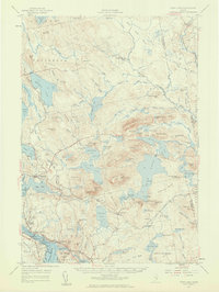
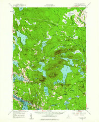
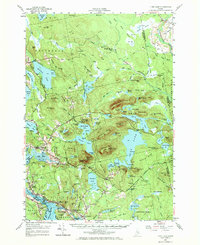
Editions of this 1957 Tunk Lake Map
4 editions found
Other maps of this area

1902 · Cherryfield
USGS Topo · 1:62,500

1904 · Cherryfield
USGS Topo · 1:62,500

1904 · Mount Desert
USGS Topo · 1:62,500

1904 · Bar Harbor
USGS Topo · 1:62,500

1904 · Petit Manan
USGS Topo · 1:62,500

1911 · Ellsworth
USGS Topo · 1:62,500

1929 · Great Pond
USGS Topo · 1:48,000

1929 · Lead Mountain
USGS Topo · 1:48,000

1930 · Tunk Lake
USGS Topo · 1:48,000

1932 · Tunk Lake
USGS Topo · 1:62,500