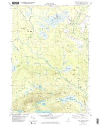
1982 Map of Tunk Mountain
USGS Topo · Published 1983About this map
Deblois sits at the northeastern corner of this Downeast Maine landscape, where the Narraguagus River and its various branches carve through a complex of peat bogs and heaths. The topography is defined by significant elevations such as Tunk Mountain in the south and Tucker Branch Mtn, interspersed with glacial features like Denbow Heath and Rock Dam Heath. This 1982 survey illustrates a region dominated by logging roads and trails rather than dense settlement, reflecting the industrial and recreational character of the Hancock and Washington County borderlands.
Find a feature on this map
71 named features on this map. Tap any name to fly to it.
Don’t see what you’re looking for? This feature index may not catch every label — zoom into the map to look around manually.
Map Details
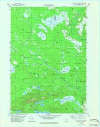
Editions of this 1982 Tunk Mountain Map
2 editions found
Other maps of this area

1902 · Cherryfield
USGS Topo · 1:62,500

1904 · Cherryfield
USGS Topo · 1:62,500

1929 · Lead Mountain
USGS Topo · 1:48,000

1930 · Tunk Lake
USGS Topo · 1:48,000

1932 · Tunk Lake
USGS Topo · 1:62,500

1932 · Lead Mountain
USGS Topo · 1:62,500

1941 · Tug Mountain
USGS Topo · 1:62,500

1942 · Cherryfield
USGS Topo · 1:62,500

1942 · Tunk Lake
USGS Topo · 1:62,500

1943 · Tug Mountain
USGS Topo · 1:62,500