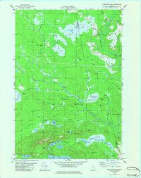
1982 Map of Tunk Mountain
USGS Topo · Published 1983About this map
The Narraguagus River and its multiple branches define this interior Maine landscape, winding through a complex system of peat bogs and heaths. In the early 1980s, the small settlement of Deblois stands as the primary human landmark in the northeast, marked by a local Cem and several Gravel Pits. The topography is dominated by the granite rises of Tunk Mountain, Tucker Branch Mtn, and Spring River Mtn, which overlook a network of remote water bodies including Little Long Pond and Myrick Lake.
Find a feature on this map
65 named features on this map. Tap any name to fly to it.
Don’t see what you’re looking for? This feature index may not catch every label — zoom into the map to look around manually.
Map Details
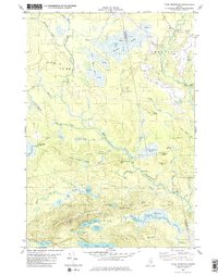
Editions of this 1982 Tunk Mountain Map
2 editions found
Other maps of this area

1902 · Cherryfield
USGS Topo · 1:62,500

1904 · Cherryfield
USGS Topo · 1:62,500

1929 · Lead Mountain
USGS Topo · 1:48,000

1930 · Tunk Lake
USGS Topo · 1:48,000

1932 · Tunk Lake
USGS Topo · 1:62,500

1932 · Lead Mountain
USGS Topo · 1:62,500

1941 · Tug Mountain
USGS Topo · 1:62,500

1942 · Cherryfield
USGS Topo · 1:62,500

1942 · Tunk Lake
USGS Topo · 1:62,500

1943 · Tug Mountain
USGS Topo · 1:62,500