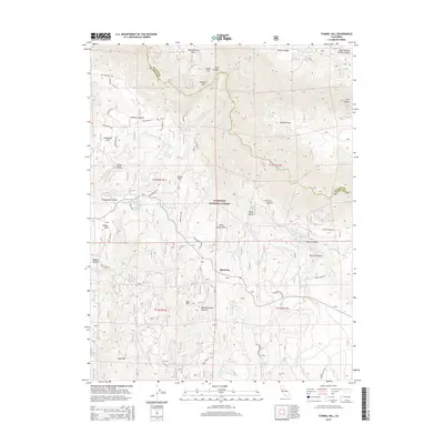
2015 Map of Tunnel Hill
USGS Topo · Published 2015About this map
Quintette and the Kentucky Flat settlement anchor this terrain where the Georgetown Divide separates the watersheds of the American River system. This high-country landscape is defined by its water management history, notably the Georgetown Divide Ditch winding near Chiquita Lake and Tunnel Hill. The map documents the complex geography of the Eldorado National Forest, revealing a network of early roads like Volcanoville Rd and Wentworth Springs Rd that historically served local mining and timber interests. Genealogists may find particular value in the location of the Pioneer Graves Cemetery north of the divide. The terrain drops sharply into Missouri Canyon and toward the Rubicon River, with numerous springs such as Zero Spring and Gaddis Spring marking the headwaters of the regional creek system.
Find a feature on this map
58 named features on this map. Tap any name to fly to it.
Don’t see what you’re looking for? This feature index may not catch every label — zoom into the map to look around manually.
Map Details
Editions of this 2015 Tunnel Hill Map
This is the sole edition of this map. No revisions or reprints were ever made.
Other maps of this area

1891 · Colfax
USGS Topo · 1:125,000

1891 · Placerville
USGS Topo · 1:125,000

1892 · Placerville
USGS Topo · 1:125,000

1892 · Colfax
USGS Topo · 1:125,000

1893 · Placerville
USGS Topo · 1:125,000

1894 · Colfax
USGS Topo · 1:125,000

1898 · Colfax
USGS Topo · 1:125,000

1900 · Colfax
USGS Topo · 1:125,000

1902 · Colfax
USGS Topo · 1:125,000

1938 · Colfax
USGS Topo · 1:125,000