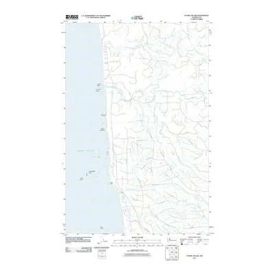
2011 Map of Tunnel Island
USGS Topo · Published 2011About this map
The Pacific Ocean coastline of Grays Harbor County defines this landscape, where the sea meets a complex network of coastal rivers and drainage basins. Significant landmarks such as Tunnel Island, Elephant Rock, and Willoughby Rock sit just offshore, while the mainland is marked by prominent elevations like Pratt Cliff. The hydrography is dominated by the Raft River and its North Fork, alongside numerous tributaries including Whale Creek, Red Creek, and Camp Creek.
Find a feature on this map
34 named features on this map. Tap any name to fly to it.
Don’t see what you’re looking for? This feature index may not catch every label — zoom into the map to look around manually.
Map Details
Editions of this 2011 Tunnel Island Map
This is the sole edition of this map. No revisions or reprints were ever made.
Other maps of this area

1943 · Copalis Beach
USGS Topo · 1:250,000

1951 · Copalis Beach
USGS Topo · 1:250,000

1955 · Taholah
USGS Topo · 1:62,500

1955 · Macafee Hill
USGS Topo · 1:62,500

1956 · Destruction Island
USGS Topo · 1:62,500

1956 · Salmon River
USGS Topo · 1:62,500

1957 · Copalis Beach
USGS Topo · 1:250,000

1963 · Copalis Beach
USGS Topo · 1:250,000
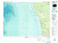
1980 · Copalis Beach
USGS Topo · 1:100,000
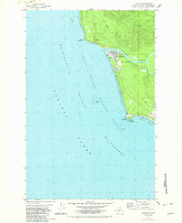
1982 · Taholah
USGS Topo · 1:24,000