1948 Map of Tuolumne
USGS Topo · Published 1959About this map
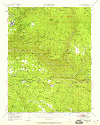
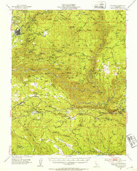
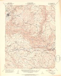
Gold mining history and water infrastructure define this mid-century survey of the Stanislaus National Forest. The landscape is dominated by the Tuolumne River and its various forks, including the Middle Fork Tuolumne River and South Fork Tuolumne River. Evidence of the region's mineral wealth is scattered across the terrain, with operations like the Gold Queen Mine, Kanaka Mine, and Hazel Dell Brothers Mine marking the hillsides. The Hetch Hetchy Aqueduct cuts through the southern portion of the map, appearing both as a surface feature and a tunnel through the granite.
Find a feature on this map
151 named features on this map. Tap any name to fly to it.
Don’t see what you’re looking for? This feature index may not catch every label — zoom into the map to look around manually.
Map Details
Editions of this 1948 Tuolumne Map
4 editions found

Other maps of this area

1891 · Big Trees
USGS Topo · 1:125,000

1893 · Sonora
USGS Topo · 1:125,000

1894 · Big Trees
USGS Topo · 1:125,000

1896 · Dardanelles
USGS Topo · 1:125,000

1896 · Sonora
USGS Topo · 1:125,000

1897 · Sonora
USGS Topo · 1:125,000

1897 · Big Trees
USGS Topo · 1:125,000

1897 · Yosemite
USGS Topo · 1:125,000

1898 · Dardanelles
USGS Topo · 1:125,000

1898 · Sonora
USGS Topo · 1:125,000