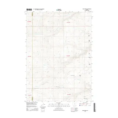
2015 Map of Turk Springs
USGS Topo · Published 2015About this map
Turk Springs and the surrounding high-altitude range of the Big Horn Basin foothills define this 2015 topography. The landscape is marked by a series of parallel elevations, including the aptly named Telephone Ridge, Road Ridge, and Poison Weed Ridge, which illustrate the difficult geography of the Washakie and Johnson County line. These ridges are separated by deep drainages such as Devoe Canyon and the winding course of the S Fork Red Fork Powder River.
Find a feature on this map
24 named features on this map. Tap any name to fly to it.
Don’t see what you’re looking for? This feature index may not catch every label — zoom into the map to look around manually.
Map Details
Editions of this 2015 Turk Springs Map
This is the sole edition of this map. No revisions or reprints were ever made.
Other maps of this area

1955 · Arminto
USGS Topo · 1:250,000

1958 · Arminto
USGS Topo · 1:250,000

1961 · Barnum
USGS Topo · 1:62,500

1962 · Arminto
USGS Topo · 1:250,000

1963 · Mayoworth
USGS Topo · 1:62,500
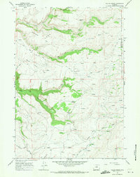
1966 · Tallon Spring
USGS Topo · 1:24,000
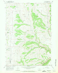
1967 · Tabletop
USGS Topo · 1:24,000

1967 · Horse Butte
USGS Topo · 1:24,000

1967 · Gordon Creek
USGS Topo · 1:24,000

1967 · Turk Springs
USGS Topo · 1:24,000