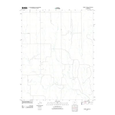
2012 Map of Turkey Creek
USGS Topo · Published 2012About this map
Turkey Cr and its various tributaries define this section of the Kansas plains in Kiowa County. The landscape is marked by a clear grid of section lines and rural thoroughfares such as Lane Rd and Co Line Rd, reflecting the systematic agricultural organization of the region. Most notably, Old Hwy 34 traces a path through the southwestern portion of the map, representing a historical transportation corridor that predates modern highway realignments.
Find a feature on this map
13 named features on this map. Tap any name to fly to it.
Don’t see what you’re looking for? This feature index may not catch every label — zoom into the map to look around manually.
Map Details
Editions of this 2012 Turkey Creek Map
This is the sole edition of this map. No revisions or reprints were ever made.
Other maps of this area

1889 · Kinsley
USGS Topo · 1:125,000

1892 · Kinsley
USGS Topo · 1:125,000

1892 · Spearville
USGS Topo · 1:125,000

1892 · Coldwater
USGS Topo · 1:125,000

1894 · Spearville
USGS Topo · 1:125,000

1894 · Kinsley
USGS Topo · 1:125,000

1896 · Ashland
USGS Topo · 1:125,000

1955 · Pratt
USGS Topo · 1:250,000

1959 · Pratt
USGS Topo · 1:250,000

1969 · Bucklin SE
USGS Topo · 1:24,000