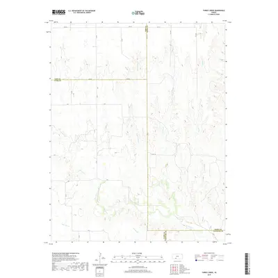
2018 Map of Turkey Creek
USGS Topo · Published 2018About this map
The high plains of south-central Kansas converge at the intersection of several counties in this topographic study. Watercourses such as Turkey Cr and its tributary Little Turkey Cr carve subtle drainages through the township, which is defined by a rigid grid of section lines and gravel routes. The map records the meeting point of four counties—Ford, Kiowa, Clark, and Comanche—near where W Kiowa Cr and Sand Cr flow through the southern reaches. These drainage patterns illustrate the natural water management of the region, while labels like Zane Rd and Lane Rd indicate the established transportation corridors that have facilitated ranching and agriculture across the plains for generations. The landscape remains largely open, characterized by the intermittent flow of Lone Tree Cr and Cavalry Cr against the surveyed boundaries of t30s r20w and surrounding townships.
Find a feature on this map
32 named features on this map. Tap any name to fly to it.
Don’t see what you’re looking for? This feature index may not catch every label — zoom into the map to look around manually.
Map Details
Editions of this 2018 Turkey Creek Map
This is the sole edition of this map. No revisions or reprints were ever made.
Other maps of this area

1889 · Kinsley
USGS Topo · 1:125,000

1892 · Kinsley
USGS Topo · 1:125,000

1892 · Spearville
USGS Topo · 1:125,000

1892 · Coldwater
USGS Topo · 1:125,000

1894 · Spearville
USGS Topo · 1:125,000

1894 · Kinsley
USGS Topo · 1:125,000

1896 · Ashland
USGS Topo · 1:125,000

1955 · Pratt
USGS Topo · 1:250,000

1959 · Pratt
USGS Topo · 1:250,000

1969 · Bucklin SE
USGS Topo · 1:24,000