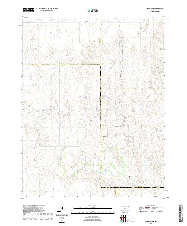
2022 Map of Turkey Creek
USGS Topo · Published 2022About this map
Turkey Cr and its tributaries define this section of the Kansas High Plains, where the borders of Ford, Kiowa, Clark, and Comanche counties meet. The landscape is characterized by a sparse, high-altitude drainage network, including Little Turkey Cr, Sand Cr, and the upper reaches of W Kiowa Cr.
Find a feature on this map
30 named features on this map. Tap any name to fly to it.
Don’t see what you’re looking for? This feature index may not catch every label — zoom into the map to look around manually.
Map Details
Editions of this 2022 Turkey Creek Map
This is the sole edition of this map. No revisions or reprints were ever made.
Other maps of this area

1889 · Kinsley
USGS Topo · 1:125,000

1892 · Kinsley
USGS Topo · 1:125,000

1892 · Spearville
USGS Topo · 1:125,000

1892 · Coldwater
USGS Topo · 1:125,000

1894 · Spearville
USGS Topo · 1:125,000

1894 · Kinsley
USGS Topo · 1:125,000

1896 · Ashland
USGS Topo · 1:125,000

1955 · Pratt
USGS Topo · 1:250,000

1959 · Pratt
USGS Topo · 1:250,000

1969 · Bucklin SE
USGS Topo · 1:24,000