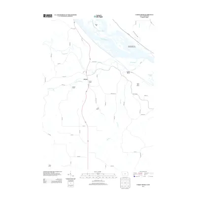
2013 Map of Turkey River
USGS Topo · Published 2013About this map
The confluence of the Turkey River and the Mississippi River defines this riverine landscape, where the water cuts through high bluffs to create a series of deep valleys and hollows. The small settlement of Millville sits at the junction of the main river and the Little Turkey River, tucked below the steep elevations of Cherry Valley and Andregg Hollow. To the east, the terrain becomes even more dramatic around the small community of Turkey River, located near the foot of Adams Mill Hollow. Across the main channel, the intricate network of the Mississippi River is marked by massive landforms like Island Number One Hundred Ninety-two and the Cassville Iowa Slough. The northeastern corner of the map captures the edges of Nelson Dewey State Park, showing how the river system and its associated sloughs, such as Skimmethorn Slough, have shaped the geography of the border region.
Find a feature on this map
54 named features on this map. Tap any name to fly to it.
Don’t see what you’re looking for? This feature index may not catch every label — zoom into the map to look around manually.
Map Details
Editions of this 2013 Turkey River Map
This is the sole edition of this map. No revisions or reprints were ever made.
Other maps of this area

1900 · Lancaster
USGS Topo · 1:125,000

1902 · Elkader
USGS Topo · 1:125,000

1904 · Lancaster
USGS Topo · 1:125,000

1908 · Lancaster
USGS Topo · 1:125,000

1955 · Cassville
USGS Topo · 1:24,000

1957 · Turkey River
USGS Topo · 1:24,000

1957 · Colesburg
USGS Topo · 1:24,000

1957 · Holy Cross
USGS Topo · 1:24,000

1959 · Dubuque
USGS Topo · 1:250,000

1961 · Dubuque
USGS Topo · 1:250,000