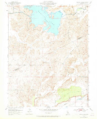
1953 Map of Turlock Lake
USGS Topo · Published 1965About this map
Turlock Lake dominates the northern landscape of this mid-century survey, its irregular shoreline bounded by the Turlock Lake State Park. This region along the boundary of Stanislaus and Merced counties showcases a complex water management system essential for Central Valley agriculture. The Turlock Main Canal and subsequent Irrigation Canal networks distribute water through a series of siphons and dams, including a prominent Dam at the lake's western edge.
Find a feature on this map
17 named features on this map. Tap any name to fly to it.
Don’t see what you’re looking for? This feature index may not catch every label — zoom into the map to look around manually.
Map Details
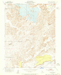
Editions of this 1953 Turlock Lake Map
2 editions found
Other maps of this area

1893 · Sonora
USGS Topo · 1:125,000

1896 · Sonora
USGS Topo · 1:125,000

1897 · Sonora
USGS Topo · 1:125,000

1898 · Sonora
USGS Topo · 1:125,000

1913 · Dickenson
USGS Topo · 1:31,680

1915 · Paulsell
USGS Topo · 1:31,680

1915 · La Grange
USGS Topo · 1:24,000

1916 · Three Tree Flat
USGS Topo · 1:31,680

1916 · Hopeton
USGS Topo · 1:31,680

1916 · Cressey
USGS Topo · 1:31,680