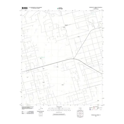
2010 Map of Turnbaugh Corner
USGS Topo · Published 2010About this map
Goldsmith Oil Field and the T X L Oil Field define the industrial character of this Ector County landscape, where the energy economy meets traditional West Texas ranching. The map reveals an intricate network of local roads and extraction sites, punctuated by vital water resources like Cheyenne Lake and the Slator Ranch. This 2010 survey highlights a reliance on groundwater infrastructure, documented through numerous named stations such as the Northeast Windmill, Old South Windmill, and West Windmill. Settled areas like Turnbaugh Corner are connected by a grid of thoroughfares including Scharbauer Rd and Ranch Rd 181, illustrating how the region's vast oil interests have shaped the physical development and accessibility of the Permian Basin's rural expanses.
Find a feature on this map
27 named features on this map. Tap any name to fly to it.
Don’t see what you’re looking for? This feature index may not catch every label — zoom into the map to look around manually.
Map Details
Editions of this 2010 Turnbaugh Corner Map
This is the sole edition of this map. No revisions or reprints were ever made.
Other maps of this area

1954 · Hobbs
USGS Topo · 1:250,000

1954 · Pecos
USGS Topo · 1:250,000

1957 · Pecos
USGS Topo · 1:250,000

1958 · Hobbs
USGS Topo · 1:250,000

1964 · Turnbaugh Corner
USGS Topo · 1:24,000

1964 · Douro
USGS Topo · 1:24,000

1964 · Red Lakes
USGS Topo · 1:24,000

1965 · Goldsmith
USGS Topo · 1:24,000

1967 · North Cowden
USGS Topo · 1:24,000

1968 · Coyote Corner
USGS Topo · 1:24,000