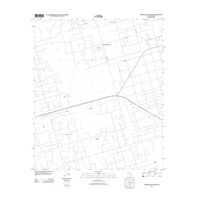
2012 Map of Turnbaugh Corner
USGS Topo · Published 2012About this map
The energy-rich Permian Basin landscape of Ector County is defined by the extensive petroleum infrastructure of the Goldsmith Oil Field and T X L Oil Field. In this corner of West Texas, the settlement of Turnbaugh Corner serves as a central point in a grid of ranch roads, including Ranch Road 181 and Scharbauer Rd. The geography is notably sparse, where water management is critical for both ranching and industry, evidenced by a series of named water sources like South Windmill, West Windmill, and the Old South Windmill. Near Slator Ranch, the ephemeral Cheyenne Lake appears as one of the few natural hydrologic features in an area otherwise dominated by the geometric patterns of the Lawson Oil Field and a network of specialized local thoroughfares like Station Rd and 1 Mile Rd.
Find a feature on this map
19 named features on this map. Tap any name to fly to it.
Don’t see what you’re looking for? This feature index may not catch every label — zoom into the map to look around manually.
Map Details
Editions of this 2012 Turnbaugh Corner Map
This is the sole edition of this map. No revisions or reprints were ever made.
Other maps of this area

1954 · Hobbs
USGS Topo · 1:250,000

1954 · Pecos
USGS Topo · 1:250,000

1957 · Pecos
USGS Topo · 1:250,000

1958 · Hobbs
USGS Topo · 1:250,000

1964 · Turnbaugh Corner
USGS Topo · 1:24,000

1964 · Douro
USGS Topo · 1:24,000

1964 · Red Lakes
USGS Topo · 1:24,000

1965 · Goldsmith
USGS Topo · 1:24,000

1967 · North Cowden
USGS Topo · 1:24,000

1968 · Coyote Corner
USGS Topo · 1:24,000