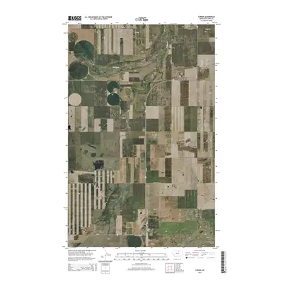
2014 Map of Turner
USGS Topo · Published 2014About this map
Turner and the nearby Turner Colony anchor this rural landscape in north-central Montana, where the terrain is defined by low-lying coulees and a grid of section-line roads. The town's local infrastructure is clearly visible, including the Turner Airport and the centrally located Turner Cem on Cemetery Rd. This 2014 survey documents a region where the vast prairie is segmented by long-reaching rural routes like Black Coulee Rd and Stirling Rd. The natural drainage system, including Buckley Cr and Little Jewel Coulee, cuts through the agricultural blocks, illustrating the essential relationship between the dry high plains and the occasional watercourses that sustain them.
Find a feature on this map
27 named features on this map. Tap any name to fly to it.
Don’t see what you’re looking for? This feature index may not catch every label — zoom into the map to look around manually.
Map Details
Editions of this 2014 Turner Map
This is the sole edition of this map. No revisions or reprints were ever made.
Other maps of this area

1903 · Wayne Creek
USGS Topo · 1:62,500

1905 · Wayne Creek
USGS Topo · 1:62,500

1913 · Cherry Ridge
USGS Topo · 1:125,000

1920 · Avery
USGS Topo · 1:125,000

1953 · Havre
USGS Topo · 1:250,000

1957 · Havre
USGS Topo · 1:250,000

1958 · Havre
USGS Topo · 1:250,000

1984 · Hogeland SE
USGS Topo · 1:24,000

1984 · Turner
USGS Topo · 1:24,000

1984 · Turner NE
USGS Topo · 1:24,000