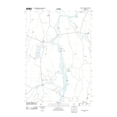
2011 Map of Turner Center
USGS Topo · Published 2011About this map
The Androscoggin River carves through the heart of this Maine landscape, defining the boundaries and economic history of several small communities in the early 21st century. The river is dotted with significant landforms like Lovewell Island and Griswold Island, while the confluence with the Dead River and Nezinscot River highlights the importance of waterpower and navigation in the region's development. Local history is anchored by settlements such as Turner Center and Keens Mills, where the Keens Mills Cemetery and West Leeds Cemetery provide essential touchpoints for genealogical research.
Find a feature on this map
89 named features on this map. Tap any name to fly to it.
Don’t see what you’re looking for? This feature index may not catch every label — zoom into the map to look around manually.
Map Details
Editions of this 2011 Turner Center Map
This is the sole edition of this map. No revisions or reprints were ever made.
Other maps of this area

1908 · Poland
USGS Topo · 1:62,500

1908 · Lewiston
USGS Topo · 1:62,500

1910 · Livermore
USGS Topo · 1:62,500

1911 · Buckfield
USGS Topo · 1:62,500

1912 · Livermore
USGS Topo · 1:62,500

1913 · Buckfield
USGS Topo · 1:62,500

1940 · Poland
USGS Topo · 1:62,500

1941 · Livermore
USGS Topo · 1:62,500

1942 · Lewiston
USGS Topo · 1:62,500

1942 · Buckfield
USGS Topo · 1:62,500