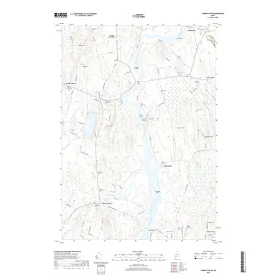
2018 Map of Turner Center
USGS Topo · Published 2018About this map
The Androscoggin River winds through this central Maine landscape, serving as a defining boundary between Kennebec and Androscoggin counties. The area is characterized by a series of small rural settlements including Turner Center, South Livermore, North Leeds, and Stricklands. These communities are connected by a web of local roads and the Maine Central railroad corridor, which follows the river's eastern bank near Turtle Island.
Find a feature on this map
98 named features on this map. Tap any name to fly to it.
Don’t see what you’re looking for? This feature index may not catch every label — zoom into the map to look around manually.
Map Details
Editions of this 2018 Turner Center Map
This is the sole edition of this map. No revisions or reprints were ever made.
Other maps of this area

1908 · Poland
USGS Topo · 1:62,500

1908 · Lewiston
USGS Topo · 1:62,500

1910 · Livermore
USGS Topo · 1:62,500

1911 · Buckfield
USGS Topo · 1:62,500

1912 · Livermore
USGS Topo · 1:62,500

1913 · Buckfield
USGS Topo · 1:62,500

1940 · Poland
USGS Topo · 1:62,500

1941 · Livermore
USGS Topo · 1:62,500

1942 · Lewiston
USGS Topo · 1:62,500

1942 · Buckfield
USGS Topo · 1:62,500