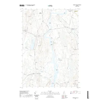
2021 Map of Turner Center
USGS Topo · Published 2021About this map
The Androscoggin River carves a winding path through this central Maine landscape, defining the boundaries between Androscoggin and Kennebec counties. Small farming hamlets and local crossroads characterize the settlement pattern, with Turner Center and South Livermore serving as key focal points. The terrain is marked by numerous family-named hills like Merrill Hill and Torry Hill, interspersed with small, localized cemeteries that provide a record of early residents, including the True Cem and Strickland Cem.
Find a feature on this map
103 named features on this map. Tap any name to fly to it.
Don’t see what you’re looking for? This feature index may not catch every label — zoom into the map to look around manually.
Map Details
Editions of this 2021 Turner Center Map
This is the sole edition of this map. No revisions or reprints were ever made.
Other maps of this area

1908 · Poland
USGS Topo · 1:62,500

1908 · Lewiston
USGS Topo · 1:62,500

1910 · Livermore
USGS Topo · 1:62,500

1911 · Buckfield
USGS Topo · 1:62,500

1912 · Livermore
USGS Topo · 1:62,500

1913 · Buckfield
USGS Topo · 1:62,500

1940 · Poland
USGS Topo · 1:62,500

1941 · Livermore
USGS Topo · 1:62,500

1942 · Lewiston
USGS Topo · 1:62,500

1942 · Buckfield
USGS Topo · 1:62,500