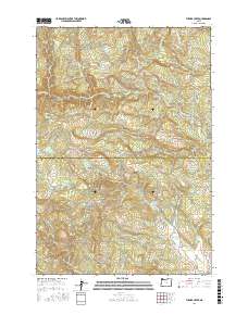
2017 Map of Turner Creek
USGS Topo · Published 2017About this map
Cherry Grove sits on the eastern edge of a landscape defined by significant water management and rugged topography along the Washington and Yamhill county line. The upper reaches of the Tualatin River are heavily utilized through the Hillsboro Reservoir and Barney Reservoir, while the southern portion of the sheet is drained by Turner Cr and its associated Turner Cr Reservoir. This network of reservoirs reflects the region's historical reliance on managed water systems to support downstream communities and local industry.
Find a feature on this map
59 named features on this map. Tap any name to fly to it.
Don’t see what you’re looking for? This feature index may not catch every label — zoom into the map to look around manually.
Map Details
Editions of this 2017 Turner Creek Map
This is the sole edition of this map. No revisions or reprints were ever made.
Other maps of this area

1941 · Timber
USGS Topo · 1:62,500

1941 · Gales Creek
USGS Topo · 1:62,500

1941 · Yamhill
USGS Topo · 1:62,500

1942 · Yamhill
USGS Topo · 1:62,500

1942 · Fairdale
USGS Topo · 1:62,500

1948 · Vancouver
USGS Topo · 1:250,000

1950 · Vancouver
USGS Topo · 1:250,000

1950 · Vancouver
USGS Topo · 1:250,000

1955 · Timber
USGS Topo · 1:62,500

1955 · Fairdale
USGS Topo · 1:62,500