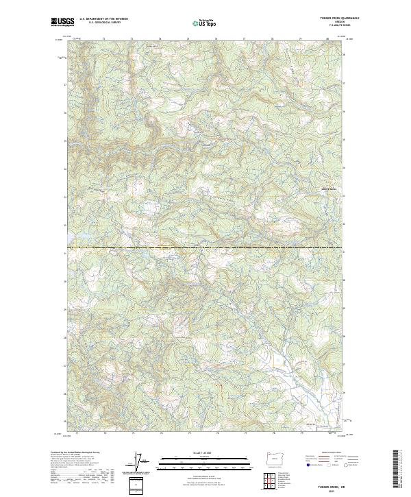
2023 Map of Turner Creek
USGS Topo · Published 2023About this map
Cherry Grove sits at the edge of a landscape defined by significant water management and forestry infrastructure along the Washington and Yamhill County line. The upper reaches of the Tualatin River are controlled by the Hillsboro Reservoir, while further south, the Turner Cr Reservoir and Yamhill Reservoir indicate the vital role this watershed plays for the surrounding communities. The terrain is marked by prominent northwest-to-southeast features like Blind Cabin Ridge and Hagerty Ridge, which dictate the paths of numerous creeks including Mathieu Creek, Roaring Creek, and Wildwood Creek.
Find a feature on this map
53 named features on this map. Tap any name to fly to it.
Don’t see what you’re looking for? This feature index may not catch every label — zoom into the map to look around manually.
Map Details
Editions of this 2023 Turner Creek Map
This is the sole edition of this map. No revisions or reprints were ever made.
Other maps of this area

1941 · Timber
USGS Topo · 1:62,500

1941 · Gales Creek
USGS Topo · 1:62,500

1941 · Yamhill
USGS Topo · 1:62,500

1942 · Yamhill
USGS Topo · 1:62,500

1942 · Fairdale
USGS Topo · 1:62,500

1948 · Vancouver
USGS Topo · 1:250,000

1950 · Vancouver
USGS Topo · 1:250,000

1950 · Vancouver
USGS Topo · 1:250,000

1955 · Timber
USGS Topo · 1:62,500

1955 · Fairdale
USGS Topo · 1:62,500