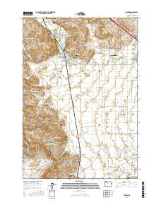
2017 Map of Turner
USGS Topo · Published 2017About this map
Mill Creek winds through the central valley of this Marion County landscape, connecting the town of Turner with the surrounding agricultural plains. The 2017 terrain is characterized by a high density of small family and fraternal burial grounds, such as the Independent Order of Odd Fellows Cem and the Marion Friends Cem, which offer significant data points for genealogical research in the area. To the west, the Salem Hills rise above the drainage of Norton Creek and McKinney Creek, while the southeastern corner is marked by the distinct passage at Parrish Gap. The map also captures the local aviation history of the region through smaller landing strips like Ames Airport and the Flying E Airport, reflecting a rural infrastructure that balances traditional farming with modern utility. Water management is a visible priority, illustrated by the Perrin Lateral, the Main Canal, and the Franzen Reservoir situated near the heart of the community.
Find a feature on this map
91 named features on this map. Tap any name to fly to it.
Don’t see what you’re looking for? This feature index may not catch every label — zoom into the map to look around manually.
Map Details
Editions of this 2017 Turner Map
This is the sole edition of this map. No revisions or reprints were ever made.
Other maps of this area

1912 · Jefferson
USGS Topo · 1:31,680

1915 · Eola
USGS Topo · 1:31,680

1915 · Sidney
USGS Topo · 1:31,680

1916 · Albany
USGS Topo · 1:62,500

1917 · Salem
USGS Topo · 1:62,500

1921 · Lebanon
USGS Topo · 1:62,500

1922 · Lebanon
USGS Topo · 1:48,000

1924 · Lebanon
USGS Topo · 1:62,500

1925 · Stayton
USGS Topo · 1:62,500

1940 · Lebanon
USGS Topo · 1:62,500