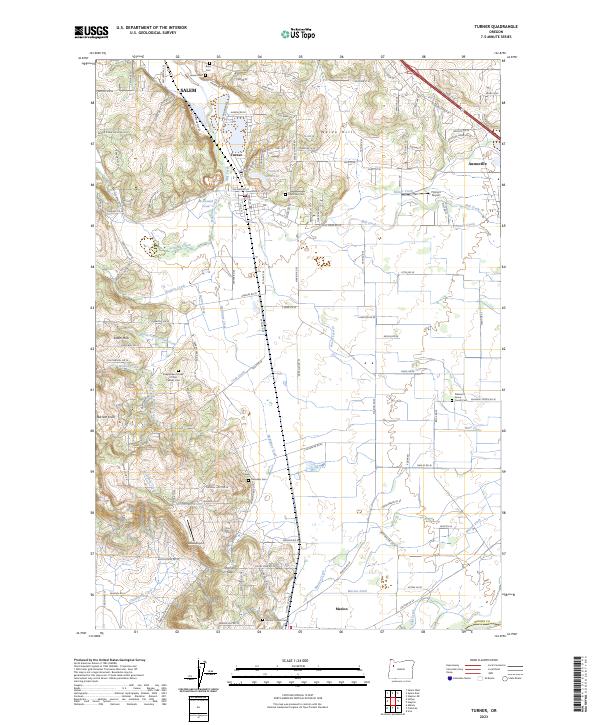
2023 Map of Turner
USGS Topo · Published 2023About this map
The Waldo Hills and Salem Hills define the varied topography of this Marion County corridor, where the edge of Salem meets the agricultural valley floor. The landscape is marked by a complex network of drainage and irrigation, including McKinney Creek, the Perrin Lateral, and the Main Canal, reflecting a long history of water management for local farms. Small settlements like Turner and Aumsville serve as local hubs, while the rural interior is punctuated by historic burial sites such as the Independent Order of Odd Fellows Cem and Twin Oaks Cem. The presence of small aviation facilities like Flying E Airport and Ames Airport suggests the continued importance of private transport in this fertile region. From the elevations at Barnett Knoll to the passage through Parrish Gap, the map reveals how the terrain has dictated the placement of roads like the Salem-Turner Rd.
Find a feature on this map
132 named features on this map. Tap any name to fly to it.
Don’t see what you’re looking for? This feature index may not catch every label — zoom into the map to look around manually.
Map Details
Editions of this 2023 Turner Map
This is the sole edition of this map. No revisions or reprints were ever made.
Other maps of this area

1912 · Jefferson
USGS Topo · 1:31,680

1915 · Eola
USGS Topo · 1:31,680

1915 · Sidney
USGS Topo · 1:31,680

1916 · Albany
USGS Topo · 1:62,500

1917 · Salem
USGS Topo · 1:62,500

1921 · Lebanon
USGS Topo · 1:62,500

1922 · Lebanon
USGS Topo · 1:48,000

1924 · Lebanon
USGS Topo · 1:62,500

1925 · Stayton
USGS Topo · 1:62,500

1940 · Lebanon
USGS Topo · 1:62,500