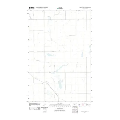
2011 Map of Turtle Creek NE
USGS Topo · Published 2011About this map
The agrarian landscape of McLean County is defined by a rigorous section-line grid of rural roads and scattered prairie potholes. This quadrangle captures the rural transport network centered around the intersection of County Hwy 18 and County Hwy 29. The area is characterized by a high density of small water bodies and seasonal wetlands, common across the North Dakota plains, which are interspersed between cultivated fields. The local infrastructure follows a strictly rectilinear pattern, with principal routes like Main St W and 15th Ave NW providing access to isolated farmsteads. This 2011 documentation by the U.S. Geological Survey shows the enduring nature of the township-and-range surveying system, where every mile is marked by a named road like 10th Ave NW or 13th Ave SW.
Find a feature on this map
23 named features on this map. Tap any name to fly to it.
Don’t see what you’re looking for? This feature index may not catch every label — zoom into the map to look around manually.
Map Details
Editions of this 2011 Turtle Creek NE Map
This is the sole edition of this map. No revisions or reprints were ever made.
Other maps of this area

1945 · Pelican Lake
USGS Topo · 1:62,500

1947 · Pelican Lake
USGS Topo · 1:62,500

1947 · Turtle Lake
USGS Topo · 1:62,500

1949 · Turtle Creek
USGS Topo · 1:62,500

1954 · McClusky
USGS Topo · 1:250,000

1958 · McClusky
USGS Topo · 1:250,000

1959 · Mercer
USGS Topo · 1:24,000

1959 · Mercer SW
USGS Topo · 1:24,000

1961 · Turtle Creek SW
USGS Topo · 1:24,000

1961 · Turtle Lake
USGS Topo · 1:24,000