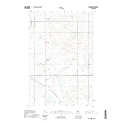
2020 Map of Turtle Creek NE
USGS Topo · Published 2020About this map
South Saint Olaf Cem sits within the prairie landscape of McLean County, serving as a primary point of interest for genealogists tracing local family roots in this rural township. The terrain is defined by a series of small, scattered wetlands and depressions characteristic of the region's topography. Transportation and recreation intersect in the southern portion of the map, where the N Country National Scenic Trail winds across the section lines near Main St. Aviation history is represented by the Johnson Private Airport, a small landing strip that highlights the importance of private flight in navigating these expansive North Dakota agricultural lands. The grid-like road network, including 5th St NW and 1st St SW, reflects the systematic land surveys of the Northern Plains.
Find a feature on this map
15 named features on this map. Tap any name to fly to it.
Don’t see what you’re looking for? This feature index may not catch every label — zoom into the map to look around manually.
Map Details
Editions of this 2020 Turtle Creek NE Map
This is the sole edition of this map. No revisions or reprints were ever made.
Other maps of this area

1945 · Pelican Lake
USGS Topo · 1:62,500

1947 · Pelican Lake
USGS Topo · 1:62,500

1947 · Turtle Lake
USGS Topo · 1:62,500

1949 · Turtle Creek
USGS Topo · 1:62,500

1954 · McClusky
USGS Topo · 1:250,000

1958 · McClusky
USGS Topo · 1:250,000

1959 · Mercer
USGS Topo · 1:24,000

1959 · Mercer SW
USGS Topo · 1:24,000

1961 · Turtle Creek SW
USGS Topo · 1:24,000

1961 · Turtle Lake
USGS Topo · 1:24,000