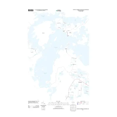
2013 Map of Turtle-Flambeau Flowage
USGS Topo · Published 2013About this map
Turtle Flambeau Flowage dominates this Wisconsin landscape, where the labyrinthine waters and hundreds of small points and bays define the local geography. The massive impoundment of the Flambeau River has created a complex water system surrounding Big Island and reaching toward the settlement of Springstead. This era of the early 2010s shows a region deeply tied to seasonal recreation and forestry, evidenced by features like the Springstead Lookout Tower and Fishermans Landing. The map details the transition from the open waters of the flowage to the numerous smaller glacial lakes that dot the eastern shore, including Trude Lake, Nokomis Lake, and the connected Upper Springstead Lake. Local infrastructure like the Blair Lake Airport and the winding course of Wi-182 provide the primary access to these remote northern woods and waters.
Find a feature on this map
56 named features on this map. Tap any name to fly to it.
Don’t see what you’re looking for? This feature index may not catch every label — zoom into the map to look around manually.
Map Details
Editions of this 2013 Turtle-Flambeau Flowage Map
This is the sole edition of this map. No revisions or reprints were ever made.
Other maps of this area

1940 · Mercer
USGS Topo · 1:48,000

1940 · Butternut
USGS Topo · 1:48,000

1941 · Park Falls
USGS Topo · 1:48,000

1941 · Pike Lake
USGS Topo · 1:48,000

1942 · Pike Lake
USGS Topo · 1:48,000

1943 · Park Falls
USGS Topo · 1:48,000

1945 · Mercer
USGS Topo · 1:48,000

1947 · Park Falls
USGS Topo · 1:48,000

1947 · Butternut
USGS Topo · 1:48,000

1947 · Mercer
USGS Topo · 1:48,000