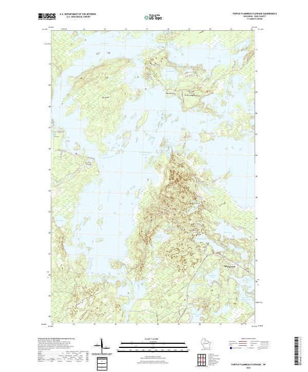
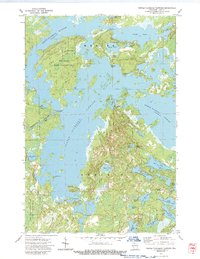
2022 Map of Turtle-Flambeau Flowage
USGS Topo · Published 2022About this map
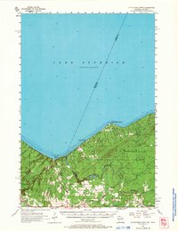
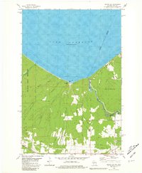
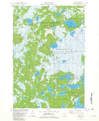
The vast expanse of the Turtle-Flambeau Flowage dominates this Wisconsin landscape, where the confluence of the Turtle River and Flambeau River created a massive labyrinth of islands and peninsulas. The settlement of Springstead anchors the southeastern corner, situated near the shores of Upper Springstead Lake and Lower Springstead Lake. This region is defined by its complex hydrography, featuring isolated water bodies like Lake Nine and Realty Lake alongside the major flowage waters.
Find a feature on this map
64 named features on this map. Tap any name to fly to it.
Don’t see what you’re looking for? This feature index may not catch every label — zoom into the map to look around manually.
Map Details
Editions of this 2022 Turtle-Flambeau Flowage Map
This is the sole edition of this map. No revisions or reprints were ever made.
Historical Maps of Mercer Through Time
26 maps found
1940 Upson
Iron County, WI
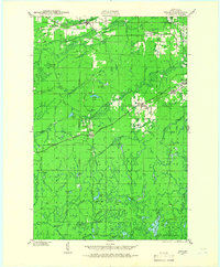
1943 Upson
Iron County, WI
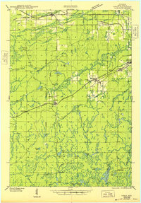
1947 Naults
Iron County, WI
1956 Little Girls Point
Iron County, WI
1956 Upson
Iron County, WI
1973 Lake Evelyn
Iron County, WI
1973 Lake of The Falls
Iron County, WI
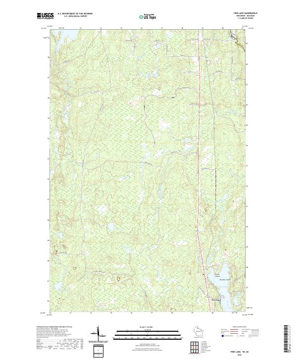
1973 Pine Lake
Iron County, WI
1973 Turntable Creek
Iron County, WI
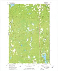
1973 Turtle-Flambeau Flowage
Iron County, WI
1973 Wilson Lake
Iron County, WI
1980 Oronto Bay
Iron County, WI
1981 Powell
Iron County, WI
1981 Winchester
Iron County, WI
1984 Lake Six
Iron County, WI
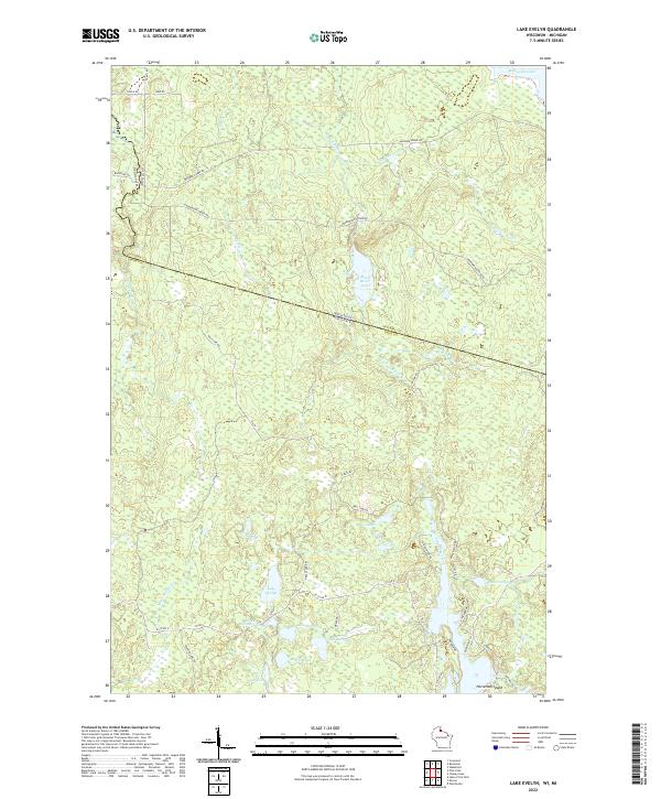
2022 Lake Evelyn
Iron County, WI
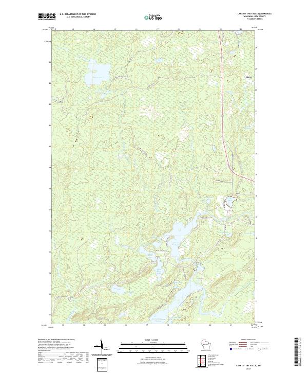
2022 Lake of the Falls
Iron County, WI
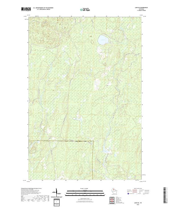
2022 Lake Six
Iron County, WI
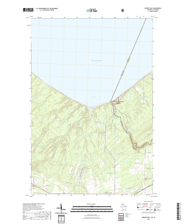
2022 Oronto Bay
Iron County, WI
2022 Pine Lake
Iron County, WI
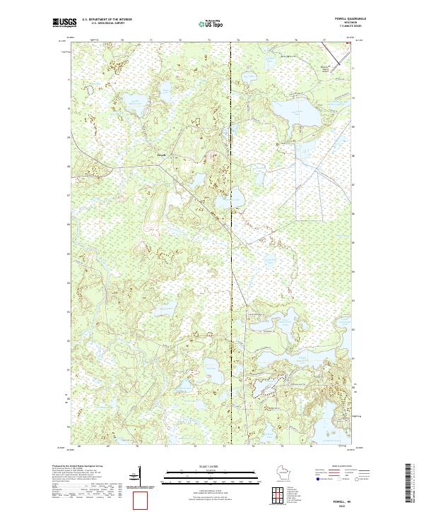
2022 Powell
Iron County, WI
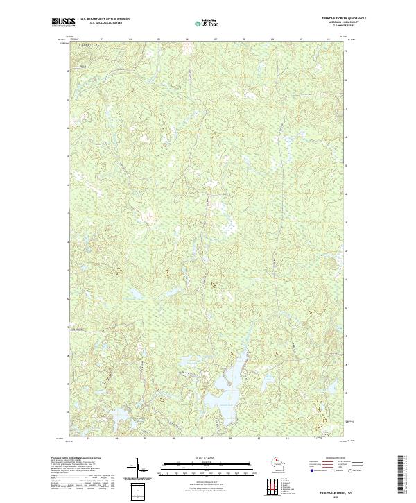
2022 Turntable Creek
Iron County, WI
2022 Turtle-Flambeau Flowage
Iron County, WI
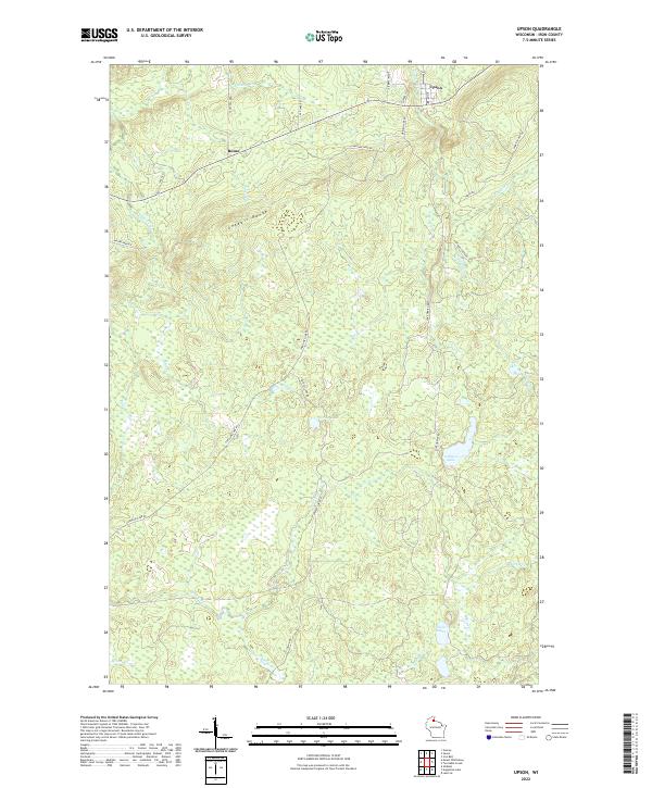
2022 Upson
Iron County, WI
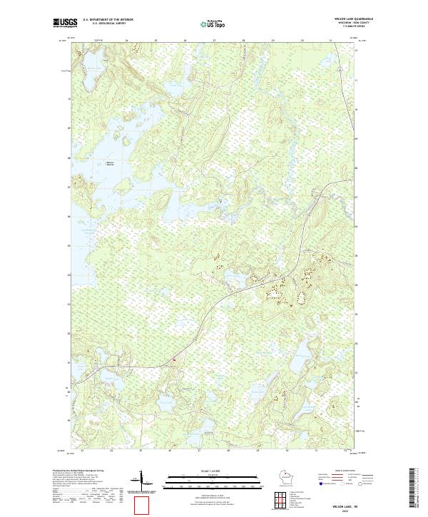
2022 Wilson Lake
Iron County, WI
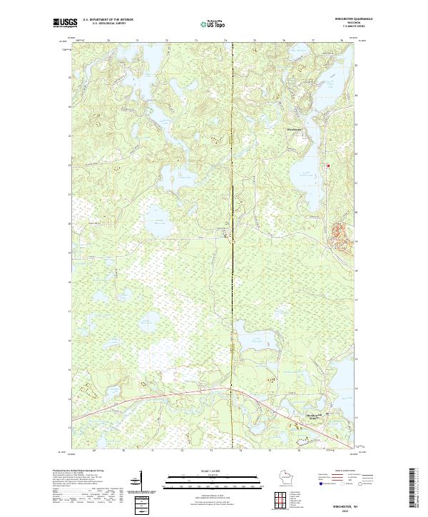
2022 Winchester
Iron County, WI