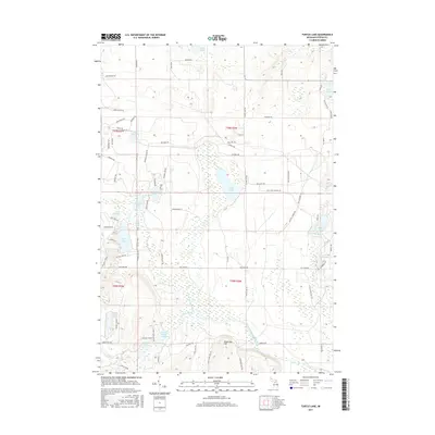
2017 Map of Turtle Lake
USGS Topo · Published 2017About this map
The North Branch Au Sable River and Turtle Cr define the glacial hydrology of this Otsego County landscape, where numerous kettle lakes are clustered among the moraines. Opal Lake and Turtle Lake serve as central landmarks in a region largely defined by recreational and residential development, evidenced by the dense network of local roads such as Michawaye Dr and Hearth Haven Pl.
Find a feature on this map
82 named features on this map. Tap any name to fly to it.
Don’t see what you’re looking for? This feature index may not catch every label — zoom into the map to look around manually.
Map Details
Editions of this 2017 Turtle Lake Map
This is the sole edition of this map. No revisions or reprints were ever made.
Other maps of this area
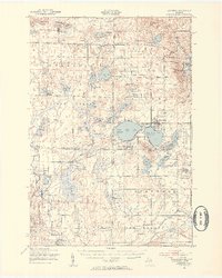
1949 · Lewiston
USGS Topo · 1:62,500
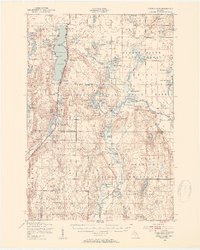
1949 · Otsego Lake
USGS Topo · 1:62,500
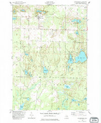
1950 · Johannesburg
USGS Topo · 1:24,000
1950 · Lovells
USGS Topo · 1:24,000
1950 · Turtle Lake
USGS Topo · 1:24,000
1951 · K P Lake
USGS Topo · 1:24,000
1951 · Big Bradford Lake
USGS Topo · 1:24,000
1951 · Lovells
USGS Topo · 1:24,000
1951 · Turtle Lake
USGS Topo · 1:24,000
1951 · Otsego Lake
USGS Topo · 1:24,000
Featured Places
- Chester Township, MI
- Farrar Landing, MI
- Bagley Township, MI
- Otsego Lake Township, MI
- Lower Chub Landing, MI