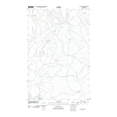
2011 Map of Turtle Lake
USGS Topo · Published 2011About this map
Spokane Indian Reservation lands dominate this topographic study, revealing a landscape defined by significant mineral extraction and a network of Bureau of Indian Affairs routes. The northern portion of the quadrangle is marked by the Germania Consolidated Mine and Midnight Mine, while the southern reaches contain the Sherwood Mine and the substantial Sherwood Project Tailings Dam. These industrial footprints stand in contrast to the natural drainages of Little Chamokane Creek and Blue Creek that carve through the high terrain.
Find a feature on this map
31 named features on this map. Tap any name to fly to it.
Don’t see what you’re looking for? This feature index may not catch every label — zoom into the map to look around manually.
Map Details
Editions of this 2011 Turtle Lake Map
This is the sole edition of this map. No revisions or reprints were ever made.
Other maps of this area

1927 · Chewelah
USGS Topo · 1:125,000

1930 · Chewelah
USGS Topo · 1:125,000

1944 · Wellpinit
USGS Topo · 1:62,500

1948 · Hunters
USGS Topo · 1:62,500

1948 · Turtle Lake
USGS Topo · 1:62,500

1950 · Turtle Lake
USGS Topo · 1:62,500

1950 · Hunters
USGS Topo · 1:62,500

1953 · Wellpinit
USGS Topo · 1:62,500

1953 · Ritzville
USGS Topo · 1:250,000

1954 · Okanogan
USGS Topo · 1:250,000