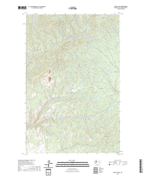
2023 Map of Turtle Lake
USGS Topo · Published 2023About this map
Spokane Mtn and Bear Mtn dominate this Stevens County landscape, where a network of BIA highways and mining roads reveals the area's industrial and tribal infrastructure. The presence of Germania Mine Rd and Tungsten Mine Rd points to a history of mineral extraction in the high country surrounding Grouse Ridge. Water sources define the lowlands, with Turtle Lake at the center of a drainage system that includes Little Chamokane Creek and Oyachen Creek. The map reflects modern land management through a grid of Bureau of Indian Affairs routes like BIA Hwy 46 and BIA Hwy 42, which connect the isolated peaks and ridges of the t29n r37e and t28n r38e townships. This 2023 survey provides a contemporary record of the roads and natural features within the Spokane Reservation vicinity.
Find a feature on this map
37 named features on this map. Tap any name to fly to it.
Don’t see what you’re looking for? This feature index may not catch every label — zoom into the map to look around manually.
Map Details
Editions of this 2023 Turtle Lake Map
This is the sole edition of this map. No revisions or reprints were ever made.
Other maps of this area

1927 · Chewelah
USGS Topo · 1:125,000

1930 · Chewelah
USGS Topo · 1:125,000

1944 · Wellpinit
USGS Topo · 1:62,500

1948 · Hunters
USGS Topo · 1:62,500

1948 · Turtle Lake
USGS Topo · 1:62,500

1950 · Turtle Lake
USGS Topo · 1:62,500

1950 · Hunters
USGS Topo · 1:62,500

1953 · Wellpinit
USGS Topo · 1:62,500

1953 · Ritzville
USGS Topo · 1:250,000

1954 · Okanogan
USGS Topo · 1:250,000