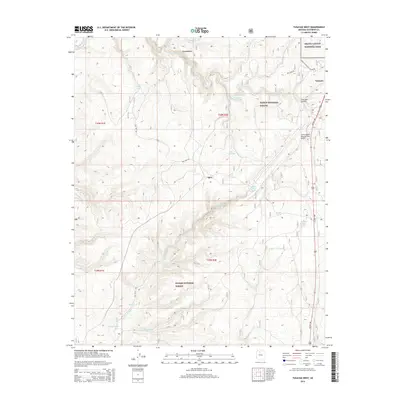
2014 Map of Tusayan West
USGS Topo · Published 2014About this map
Kaibab National Forest dominates this landscape on the doorstep of the South Rim, providing a detailed look at the infrastructure supporting one of the world's most famous natural landmarks. The settlement of Tusayan serves as the primary gateway, sitting at the junction of US Hwy 180 and the entrance to Grand Canyon National Park. The map documents the critical water management systems in this arid environment, featuring a network of livestock and wildlife tanks such as Randall Water Tank, Boggy Trick Tank, and Game Tank.
Find a feature on this map
28 named features on this map. Tap any name to fly to it.
Don’t see what you’re looking for? This feature index may not catch every label — zoom into the map to look around manually.
Map Details
Editions of this 2014 Tusayan West Map
This is the sole edition of this map. No revisions or reprints were ever made.
Other maps of this area

1886 · Chino
USGS Topo · 1:250,000

1886 · Kaibab
USGS Topo · 1:250,000

1891 · Chino
USGS Topo · 1:250,000

1903 · Bright Angel
USGS Topo · 1:48,000

1906 · Bright Angel
USGS Topo · 1:48,000

1948 · Williams
USGS Topo · 1:250,000

1953 · Grand Canyon
USGS Topo · 1:250,000

1954 · Williams
USGS Topo · 1:250,000
1956 · Red Butte SE
USGS Topo · 1:24,000

1956 · Williams
USGS Topo · 1:250,000