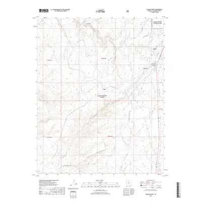
2018 Map of Tusayan West
USGS Topo · Published 2018About this map
Tusayan and the surrounding high desert plateau are documented here, showing the critical infrastructure supporting the southern gateway to the Grand Canyon. The map illustrates a landscape managed for both recreation and resource protection, dominated by the Kaibab National Forest and the southern edge of Grand Canyon National Park. Significant local landmarks include the Grand Canyon National Park Airport and the settlement at Apex.
Find a feature on this map
25 named features on this map. Tap any name to fly to it.
Don’t see what you’re looking for? This feature index may not catch every label — zoom into the map to look around manually.
Map Details
Editions of this 2018 Tusayan West Map
This is the sole edition of this map. No revisions or reprints were ever made.
Other maps of this area
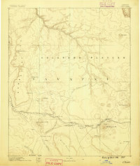
1886 · Chino
USGS Topo · 1:250,000
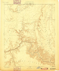
1886 · Kaibab
USGS Topo · 1:250,000
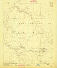
1891 · Chino
USGS Topo · 1:250,000
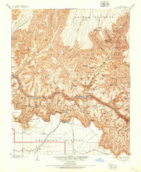
1903 · Bright Angel
USGS Topo · 1:48,000
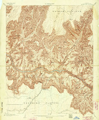
1906 · Bright Angel
USGS Topo · 1:48,000
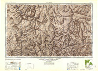
1948 · Williams
USGS Topo · 1:250,000
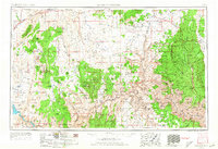
1953 · Grand Canyon
USGS Topo · 1:250,000
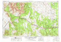
1954 · Williams
USGS Topo · 1:250,000
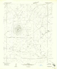
1956 · Red Butte SE
USGS Topo · 1:24,000
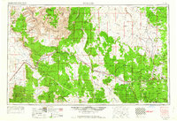
1956 · Williams
USGS Topo · 1:250,000