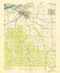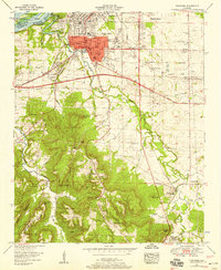
2024 Map of Tuscumbia
USGS Topo · Published 2024About this map
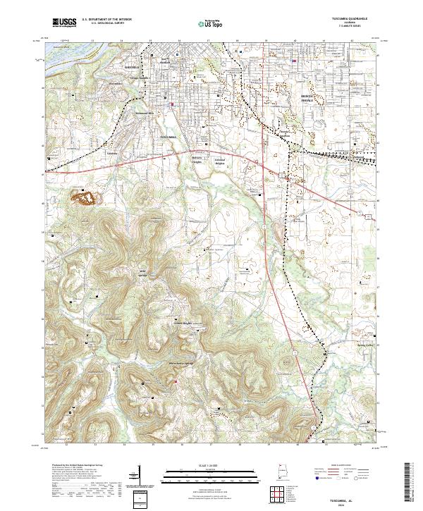
Tuscumbia and its neighboring communities of Sheffield and Muscle Shoals occupy a landscape deeply shaped by the Tennessee River and its upland ridges. This modern survey illustrates the dense concentration of cemeteries and memorials that dot the region, from the Colbert County Memorial Gardens to the Old Mount Moriah Cem and Isbell Chapel Cem. The transition from the urban centers in the north to the higher elevations of Underwood Mtn and Poorhouse Mtn in the south is marked by numerous springs and hollows. Features like White House Springs and Milk Springs indicate the historical importance of local water sources, while the presence of the Northwest Shoals Community College Shoals Campus reflects the area's contemporary development. The topography is further defined by significant landmarks such as Sevenmile Island and the sprawling waters of Pickwick Lake along the northwestern edge.
Find a feature on this map
105 named features on this map. Tap any name to fly to it.
Don’t see what you’re looking for? This feature index may not catch every label — zoom into the map to look around manually.
Map Details
Editions of this 2024 Tuscumbia Map
This is the sole edition of this map. No revisions or reprints were ever made.
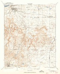
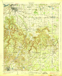
Historical Maps of Milk Springs Through Time
7 maps found