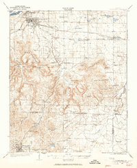
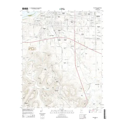
1924 Map of Tuscumbia
USGS Topo · Published 1965About this map
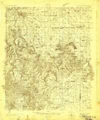
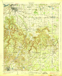
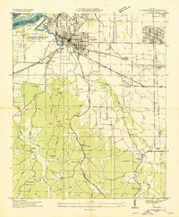
The industrial and agricultural corridor of the Tennessee River valley defines this mid-1920s survey, showing the established urban grids of Tuscumbia and Sheffield before the expansion of mid-century hydroelectric projects. This era was marked by the heavy presence of the Southern railroad and the Alabama Northern, which facilitated transport between the river and the inland iron and agricultural fields. Beyond the riverfront, the map details a landscape of rural education and faith, dotted with numerous local institutions like Morning Star School and Galilee Church.
Find a feature on this map
86 named features on this map. Tap any name to fly to it.
Don’t see what you’re looking for? This feature index may not catch every label — zoom into the map to look around manually.
Map Details
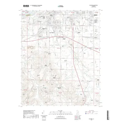
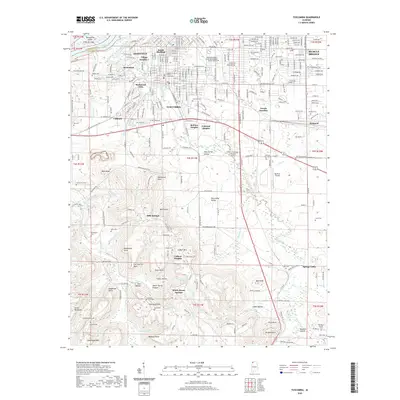
Editions of this 1924 Tuscumbia Map
2 editions found
Historical Maps of Muscle Shoals Through Time
11 maps found
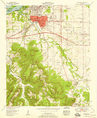
1924 Tuscumbia
Colbert County, AL
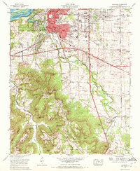
1926 Tuscumbia
Colbert County, AL
1936 Tuscumbia
Colbert County, AL
1952 Tuscumbia
Colbert County, AL
1971 Tuscumbia
Colbert County, AL
1986 Tuscumbia
Colbert County, AL
2011 Tuscumbia
Colbert County, AL
2014 Tuscumbia
Colbert County, AL
2018 Tuscumbia
Colbert County, AL
2020 Tuscumbia
Colbert County, AL
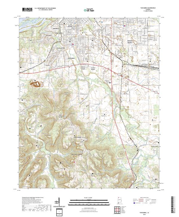
2024 Tuscumbia
Colbert County, AL