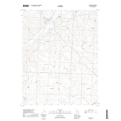
2017 Map of Tuscumbia
USGS Topo · Published 2017About this map
The Osage River carves a deep path through Miller County, defining the landscape around Tuscumbia, where the river makes a sharp bend beneath the heights of Cedar Bluffs. This 2017 survey reveals a terrain of high ridges and deeply etched drainages, such as Shoestring Hollow and Wildcat Hollow, illustrating the limestone-driven topography of the region. The map documents the persistent rural character of the area, connecting the settlement at Ulman to smaller locales like Watkins through a network of county roads.
Find a feature on this map
76 named features on this map. Tap any name to fly to it.
Don’t see what you’re looking for? This feature index may not catch every label — zoom into the map to look around manually.
Map Details
Editions of this 2017 Tuscumbia Map
This is the sole edition of this map. No revisions or reprints were ever made.
Other maps of this area
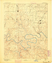
1888 · Versailles
USGS Topo · 1:125,000
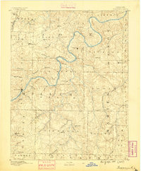
1888 · Tuscumbia
USGS Topo · 1:125,000
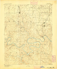
1893 · Versailles
USGS Topo · 1:125,000
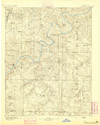
1894 · Tuscumbia
USGS Topo · 1:125,000
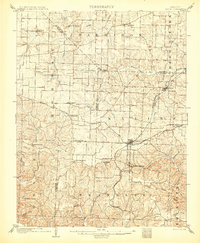
1904 · Eldon
USGS Topo · 1:62,500
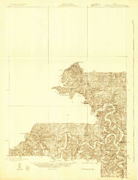
1932 · Versailles No 4
USGS Topo · 1:48,000
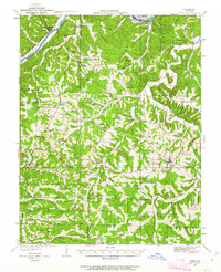
1933 · Iberia
USGS Topo · 1:62,500
1934 · Toronto
USGS Topo · 1:24,000
1934 · Bagnell
USGS Topo · 1:24,000
1935 · Eldon
USGS Topo · 1:24,000